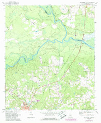
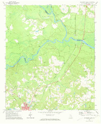
1971 Map of Hazlehurst North
USGS Topo · Published 1988About this map
The confluence of the Ocmulgee River and the Oconee River forms the Altamaha River in this detailed 1970s survey. This hydrologic junction serves as the focal point for a landscape defined by riverside commerce and rural community life, marked by numerous landings such as Bells Ferry Landing and McEachins Landing. To the south, the northern reaches of Hazlehurst begin to appear, featuring landmarks like the Drive-in Theater and Palms Memorial Gardens.
Find a feature on this map
43 named features on this map. Tap any name to fly to it.
Don’t see what you’re looking for? This feature index may not catch every label — zoom into the map to look around manually.
Map Details
Editions of this 1971 Hazlehurst North Map
2 editions found
Other maps of this area

1953 · Waycross
USGS Topo · 1:250,000

1957 · Macon
USGS Topo · 1:250,000

1958 · Macon
USGS Topo · 1:250,000

1958 · Waycross
USGS Topo · 1:250,000

1964 · Macon
USGS Topo · 1:250,000

1970 · Alston
USGS Topo · 1:24,000

1970 · Uvalda
USGS Topo · 1:24,000

1970 · Jordan
USGS Topo · 1:24,000

1970 · Pine Grove
USGS Topo · 1:24,000
1970 · Grays Landing
USGS Topo · 1:24,000