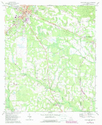
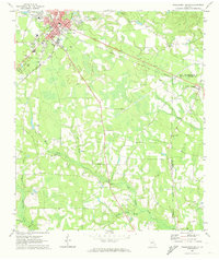
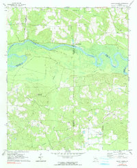
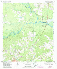
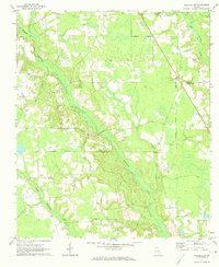
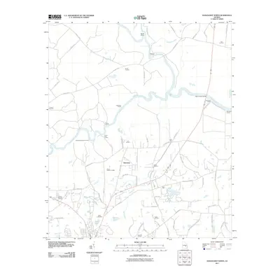
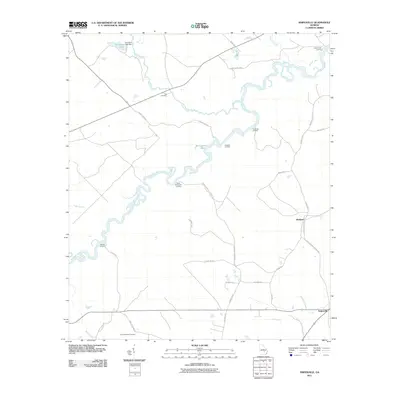
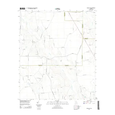
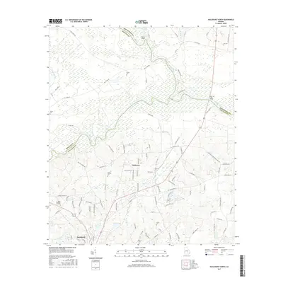
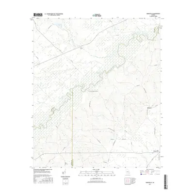
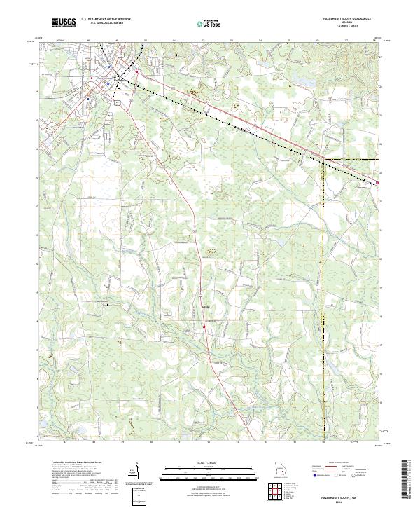
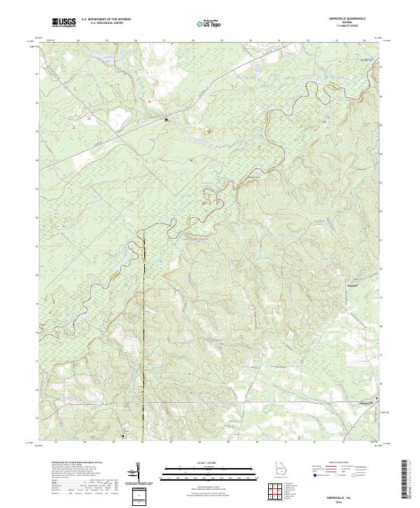
1971 Map of Hazlehurst South
USGS Topo · Published 1988About this map
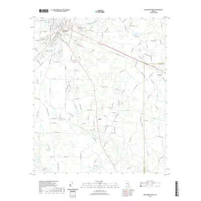
The Jeff Davis County seat of Hazlehurst serves as the primary hub for this South Georgia landscape, where the agricultural grid meets the dense wetlands of the Satilla River basin. During the early 1970s, the town's expansion is documented near the Courthouse and Jeff Davis Sch, while the outlying areas remain defined by small rural settlements like Graham. The map reveals a network of country churches that anchored these communities, including Morgans Chapel and Bethany Ch, alongside family-named sites such as Bazemore Cem.
Find a feature on this map
35 named features on this map. Tap any name to fly to it.
Don’t see what you’re looking for? This feature index may not catch every label — zoom into the map to look around manually.
Map Details
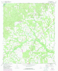
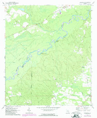
Editions of this 1971 Hazlehurst South Map
2 editions found
Historical Maps of Hazlehurst Through Time
36 maps found
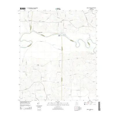
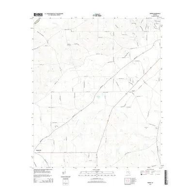
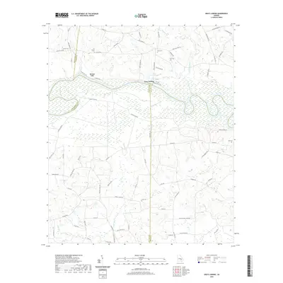
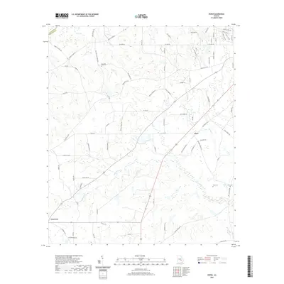
1970 Grays Landing
Jeff Davis County, GA
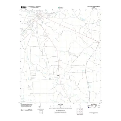
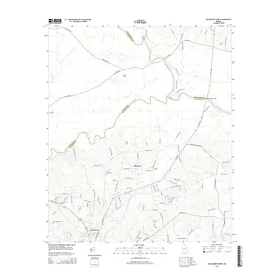
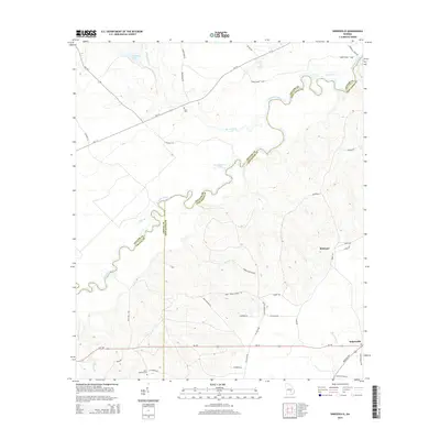
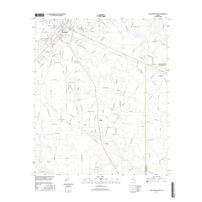
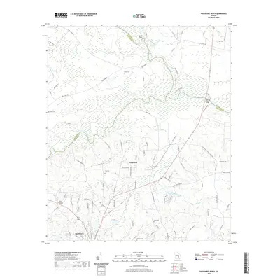
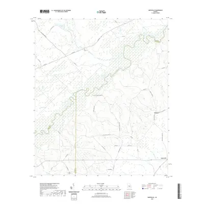
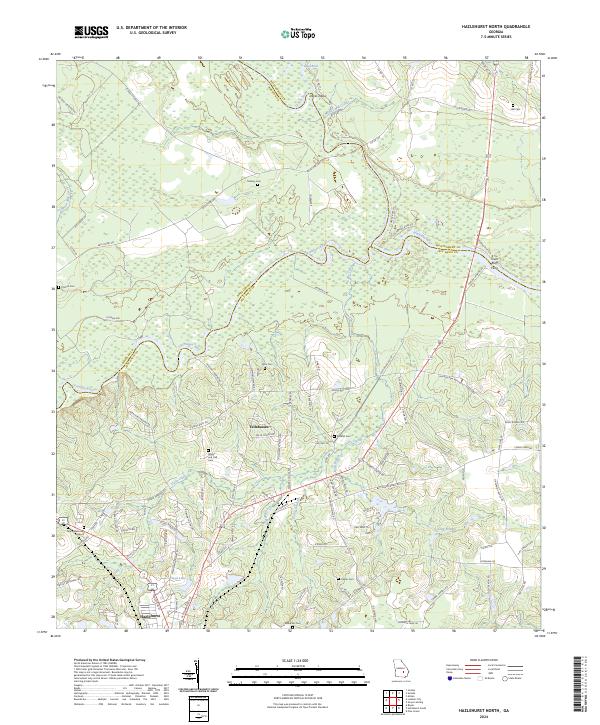
1971 Hazlehurst North
Jeff Davis County, GA
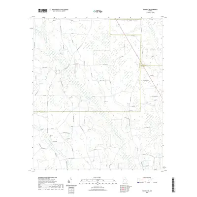
1971 Hazlehurst South
Jeff Davis County, GA
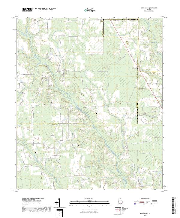
1971 Nicholls NE
Jeff Davis County, GA
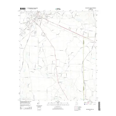
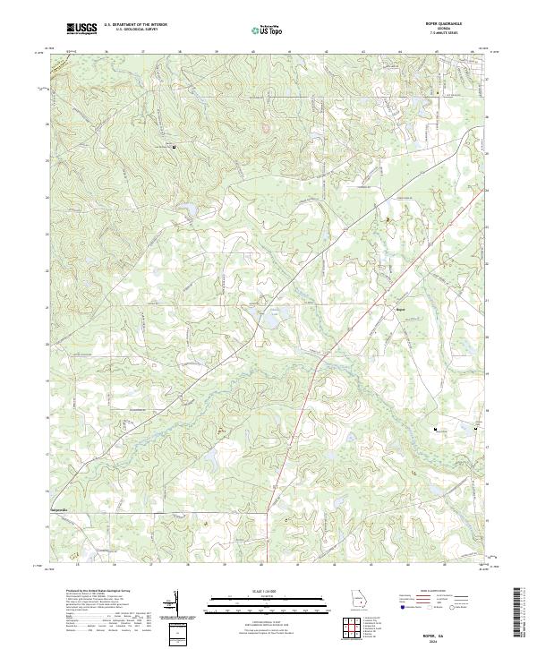
1971 Roper
Jeff Davis County, GA
1971 Snipesville
Jeff Davis County, GA
2011 Grays Landing
Jeff Davis County, GA
2011 Hazlehurst North
Jeff Davis County, GA
2011 Hazlehurst South
Jeff Davis County, GA
2011 Nicholls NE
Jeff Davis County, GA
2011 Roper
Jeff Davis County, GA
2011 Snipesville
Jeff Davis County, GA
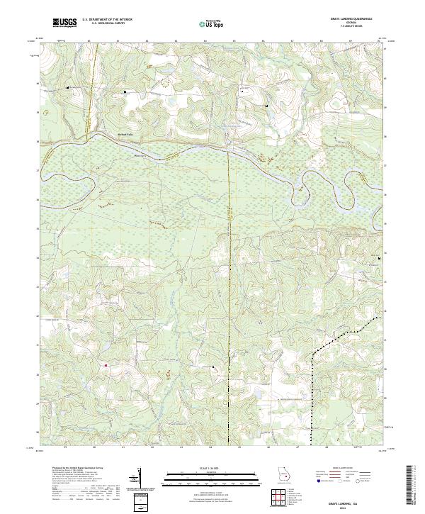
2014 Grays Landing
Jeff Davis County, GA
2014 Hazlehurst North
Jeff Davis County, GA
2014 Hazlehurst South
Jeff Davis County, GA
2014 Nicholls NE
Jeff Davis County, GA
2014 Roper
Jeff Davis County, GA
2014 Snipesville
Jeff Davis County, GA
2017 Grays Landing
Jeff Davis County, GA
2017 Hazlehurst North
Jeff Davis County, GA
2017 Hazlehurst South
Jeff Davis County, GA
2017 Nicholls NE
Jeff Davis County, GA
2017 Roper
Jeff Davis County, GA
2017 Snipesville
Jeff Davis County, GA
2020 Grays Landing
Jeff Davis County, GA
2020 Hazlehurst North
Jeff Davis County, GA
2020 Hazlehurst South
Jeff Davis County, GA
2020 Nicholls NE
Jeff Davis County, GA
2020 Roper
Jeff Davis County, GA
2020 Snipesville
Jeff Davis County, GA
2024 Grays Landing
Jeff Davis County, GA
2024 Hazlehurst North
Jeff Davis County, GA
2024 Hazlehurst South
Jeff Davis County, GA
2024 Nicholls NE
Jeff Davis County, GA
2024 Roper
Jeff Davis County, GA
2024 Snipesville
Jeff Davis County, GA