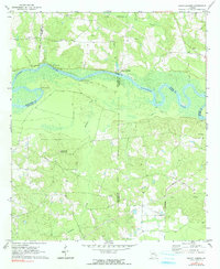
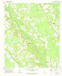
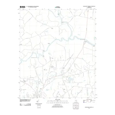
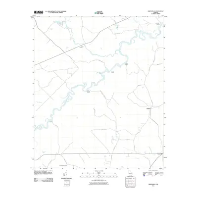
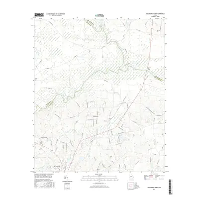
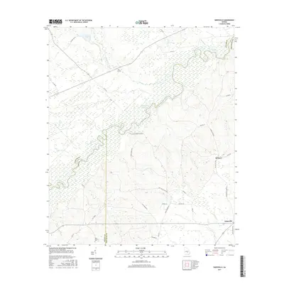
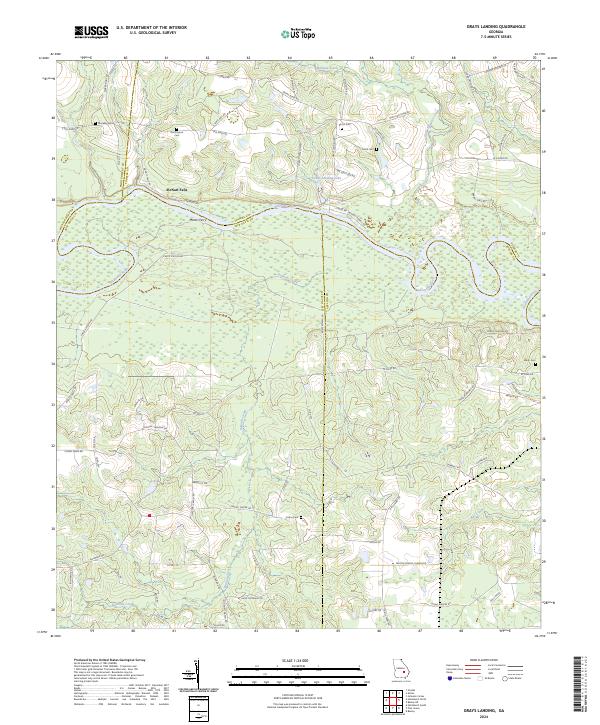
1970 Map of Grays Landing
USGS Topo · Published 1991About this map
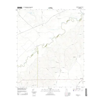
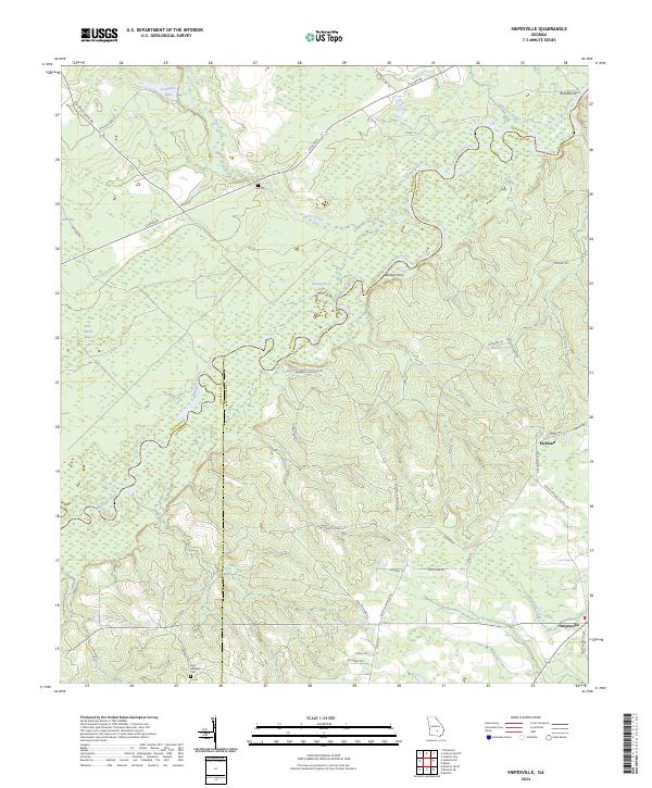
The Altamaha River dominates this 1970 landscape, winding through a complex network of county lines where Jeff Davis, Toombs, Montgomery, and Appling counties meet. This river-focused economy is marked by numerous historic river access points, including Halls Ferry Landing, Grays Landing, and Half Moon Landing. The presence of McNatt Falls suggests a break in the river's steady flow, a vital landmark for navigation and local history.
Find a feature on this map
30 named features on this map. Tap any name to fly to it.
Don’t see what you’re looking for? This feature index may not catch every label — zoom into the map to look around manually.
Map Details
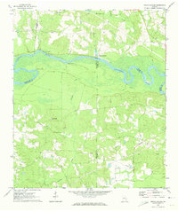
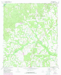
Editions of this 1970 Grays Landing Map
2 editions found
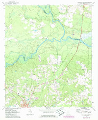
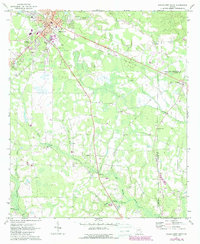
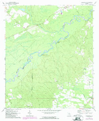
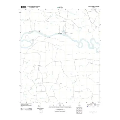
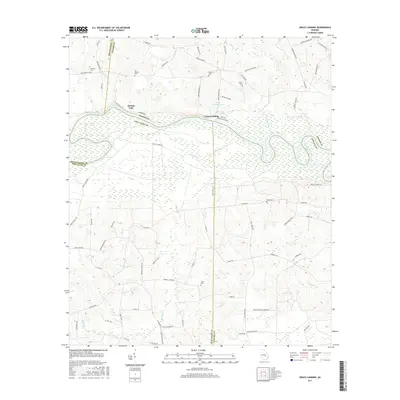
Historical Maps of McNatt Falls Through Time
36 maps found
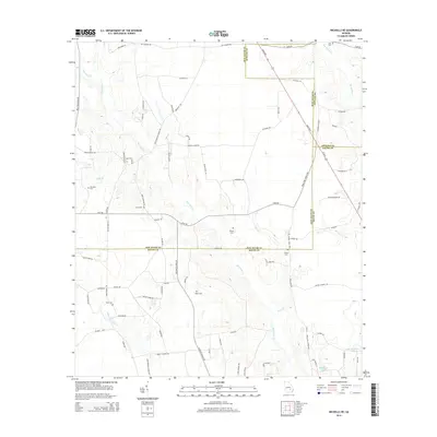
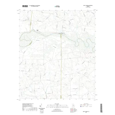
1970 Grays Landing
Jeff Davis County, GA
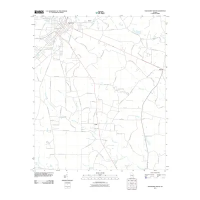
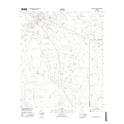
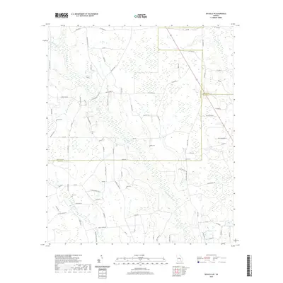
1971 Hazlehurst North
Jeff Davis County, GA
1971 Hazlehurst South
Jeff Davis County, GA
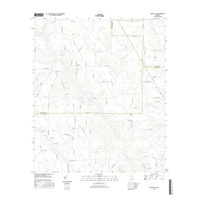
1971 Nicholls NE
Jeff Davis County, GA
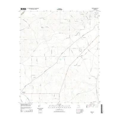
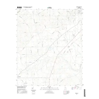
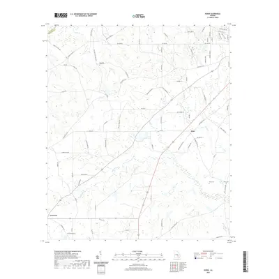
1971 Roper
Jeff Davis County, GA
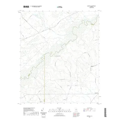
1971 Snipesville
Jeff Davis County, GA
2011 Grays Landing
Jeff Davis County, GA
2011 Hazlehurst North
Jeff Davis County, GA
2011 Hazlehurst South
Jeff Davis County, GA
2011 Nicholls NE
Jeff Davis County, GA
2011 Roper
Jeff Davis County, GA
2011 Snipesville
Jeff Davis County, GA
2014 Grays Landing
Jeff Davis County, GA
2014 Hazlehurst North
Jeff Davis County, GA
2014 Hazlehurst South
Jeff Davis County, GA
2014 Nicholls NE
Jeff Davis County, GA
2014 Roper
Jeff Davis County, GA
2014 Snipesville
Jeff Davis County, GA
2017 Grays Landing
Jeff Davis County, GA
2017 Hazlehurst North
Jeff Davis County, GA
2017 Hazlehurst South
Jeff Davis County, GA
2017 Nicholls NE
Jeff Davis County, GA
2017 Roper
Jeff Davis County, GA
2017 Snipesville
Jeff Davis County, GA
2020 Grays Landing
Jeff Davis County, GA
2020 Hazlehurst North
Jeff Davis County, GA
2020 Hazlehurst South
Jeff Davis County, GA
2020 Nicholls NE
Jeff Davis County, GA
2020 Roper
Jeff Davis County, GA
2020 Snipesville
Jeff Davis County, GA
2024 Grays Landing
Jeff Davis County, GA
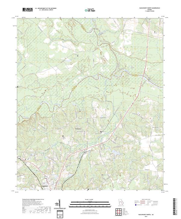
2024 Hazlehurst North
Jeff Davis County, GA
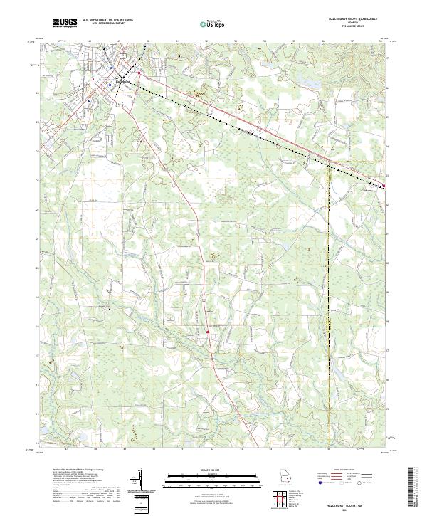
2024 Hazlehurst South
Jeff Davis County, GA
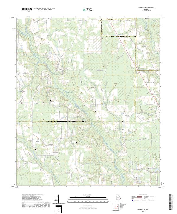
2024 Nicholls NE
Jeff Davis County, GA
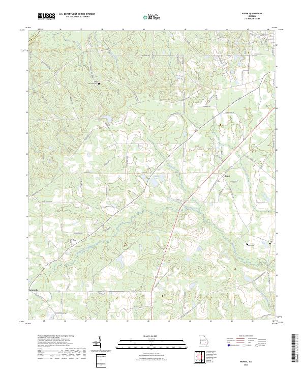
2024 Roper
Jeff Davis County, GA
2024 Snipesville
Jeff Davis County, GA