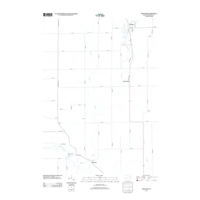
2013 Map of Hazleton
USGS Topo · Published 2013About this map
The Hazleton area of Buchanan County, Iowa, is defined by the winding course of the Wapsipinicon River and its numerous tributaries. In the northern reaches, the community centers around Hazleton Cr and Lake Oelwein, with a grid of local streets including N St E and Hayes St E. The rural landscape is partitioned by a strictly rectangular road network, featuring routes like the Fairbank Amish Blvd and Indiana Ave, which reflect the region's agricultural heritage.
Find a feature on this map
49 named features on this map. Tap any name to fly to it.
Don’t see what you’re looking for? This feature index may not catch every label — zoom into the map to look around manually.
Map Details
Editions of this 2013 Hazleton Map
This is the sole edition of this map. No revisions or reprints were ever made.
Other maps of this area

1901 · Oelwein
USGS Topo · 1:125,000

1903 · Winthrop
USGS Topo · 1:125,000

1954 · Waterloo
USGS Topo · 1:250,000

1955 · Waterloo
USGS Topo · 1:250,000

1959 · Dubuque
USGS Topo · 1:250,000

1961 · Dubuque
USGS Topo · 1:250,000

1962 · Dubuque
USGS Topo · 1:250,000

1971 · Fairbank
USGS Topo · 1:24,000

1971 · Littleton
USGS Topo · 1:24,000
1971 · Jesup
USGS Topo · 1:24,000