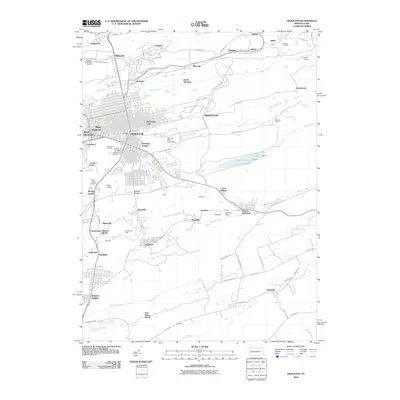
2010 Map of Hazleton
USGS Topo · Published 2010About this map
Hazleton and its neighboring coal-country settlements are documented here during a period of modern industrial transition. The dense street grid of West Hazleton and the central city gives way to specialized rail junctions like Locust Junction and Cranberry Junction, reflecting a legacy built on anthracite. The landscape is marked by unique industrial features such as the Lion Silt Plant Pond Dam and the Hampshires Shaft, alongside numerous small villages including Jeansville, Tresckow, and Lattimer.
Find a feature on this map
92 named features on this map. Tap any name to fly to it.
Don’t see what you’re looking for? This feature index may not catch every label — zoom into the map to look around manually.
Map Details
Editions of this 2010 Hazleton Map
This is the sole edition of this map. No revisions or reprints were ever made.
Other maps of this area

1889 · Hazleton
USGS Topo · 1:62,500

1891 · Wilkesbarre
USGS Topo · 1:62,500

1891 · Hazleton
USGS Topo · 1:62,500

1892 · Mahanoy
USGS Topo · 1:62,500

1893 · Hazleton
USGS Topo · 1:62,500

1893 · Mahanoy
USGS Topo · 1:62,500

1894 · Shickshinny
USGS Topo · 1:62,500

1894 · Wilkesbarre
USGS Topo · 1:62,500

1943 · Scranton
USGS Topo · 1:125,000

1944 · Newark
USGS Topo · 1:250,000