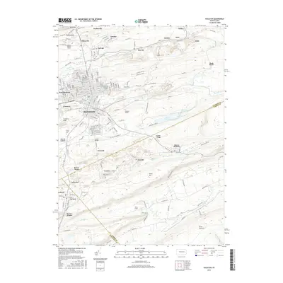
2016 Map of Hazleton
USGS Topo · Published 2016About this map
Hazleton serves as the central hub of this anthracite-rich region, where the urban grid meets a landscape heavily shaped by its industrial heritage. The city and its neighbor West Hazleton are surrounded by a dense network of smaller coal-patch settlements such as Harleigh, Ebervale, and Jeansville, illustrating the historic concentration of labor in this part of Luzerne County. This 2016 survey captures the area after decades of topographic change, showing the reclaimed contours near Cranberry Ridge and the Chester Valley.
Find a feature on this map
200 named features on this map. Tap any name to fly to it.
Don’t see what you’re looking for? This feature index may not catch every label — zoom into the map to look around manually.
Map Details
Editions of this 2016 Hazleton Map
This is the sole edition of this map. No revisions or reprints were ever made.
Other maps of this area

1889 · Hazleton
USGS Topo · 1:62,500

1891 · Wilkesbarre
USGS Topo · 1:62,500

1891 · Hazleton
USGS Topo · 1:62,500

1892 · Mahanoy
USGS Topo · 1:62,500

1893 · Hazleton
USGS Topo · 1:62,500

1893 · Mahanoy
USGS Topo · 1:62,500

1894 · Shickshinny
USGS Topo · 1:62,500

1894 · Wilkesbarre
USGS Topo · 1:62,500

1943 · Scranton
USGS Topo · 1:125,000

1944 · Newark
USGS Topo · 1:250,000