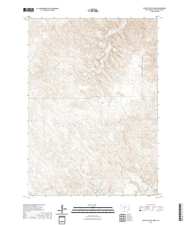
2021 Map of Head of Butch Creek
USGS Topo · Published 2021About this map
Butch Creek and its neighboring drainages define this portion of the South Dakota landscape, where the headwaters of several seasonal streams carve through the prairie terrain of Mellette County. The network of waterways, including Roundup Creek and Cedar Creek, illustrates the natural drainage patterns that have historically shaped land use and grazing in this region. This modern topographic survey provides a clear view of the Public Land Survey System (PLSS) grid, documenting townships such as t43n r31w and t43n r30w. The map reveals a sparsely developed environment dominated by natural contours and watercourses like Cottonwood Creek, reflecting the enduring character of the High Plains where human impact remains light and tied closely to the topography of the creek beds.
Find a feature on this map
10 named features on this map. Tap any name to fly to it.
Don’t see what you’re looking for? This feature index may not catch every label — zoom into the map to look around manually.
Map Details
Editions of this 2021 Head of Butch Creek Map
This is the sole edition of this map. No revisions or reprints were ever made.
Other maps of this area

1951 · Stamford SE
USGS Topo · 1:24,000

1951 · Cedar Butte NE
USGS Topo · 1:24,000

1951 · Okaton SW
USGS Topo · 1:24,000

1951 · Murdo 3 NW
USGS Topo · 1:24,000

1951 · Murdo 3 NE
USGS Topo · 1:24,000

1951 · Okaton SE
USGS Topo · 1:24,000

1955 · Martin
USGS Topo · 1:250,000

1958 · Martin
USGS Topo · 1:250,000

1980 · Kadoka
USGS Topo · 1:100,000

1981 · Cedar Butte
USGS Topo · 1:25,000