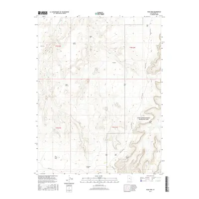
2017 Map of Head Spur
USGS Topo · Published 2017About this map
The Glen Canyon National Recreation Area dominates the eastern and southern reaches of this landscape, where the dramatic elevation drops of the Orange Cliffs define the edge of the high plateau. High desert water sources such as Outlaw Spring, Trail Spring, and Burro Seep provided critical points of relief for early travelers and livestock. The topographic detail reveals a complex network of high pastures and flatlands, including Goat Park, Lower Pasture, and Upper Pasture, situated between deep drainages like Barrier Cr and Moqui Fork. To the south, the deep incision of Horseshoe Canyon cuts through the terrain near the sprawling Twin Corral Flats. This region is a study in natural landmarks, featuring the Natural Arch near the Spur Fork and the prominent rising landforms of the High Spur and The Spur.
Find a feature on this map
26 named features on this map. Tap any name to fly to it.
Don’t see what you’re looking for? This feature index may not catch every label — zoom into the map to look around manually.
Map Details
Editions of this 2017 Head Spur Map
This is the sole edition of this map. No revisions or reprints were ever made.
Other maps of this area

1885 · San Rafael
USGS Topo · 1:250,000

1953 · Orange Cliffs 1 SE
USGS Topo · 1:24,000

1953 · Orange Cliffs 4 NW
USGS Topo · 1:24,000

1953 · Orange Cliffs 4 NE
USGS Topo · 1:24,000

1953 · Orange Cliffs 3 NE
USGS Topo · 1:24,000

1953 · Orange Cliffs 1 NE
USGS Topo · 1:24,000

1953 · The Spur
USGS Topo · 1:62,500

1953 · Fiddler Butte
USGS Topo · 1:62,500

1953 · Orange Cliffs
USGS Topo · 1:62,500

1956 · Salina
USGS Topo · 1:250,000