
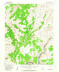
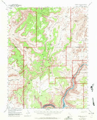
1953 Map of Orange Cliffs
USGS Topo · Published 1959About this map
Orange Cliffs define the vertical relief of this 1950s survey where the canyonlands meet the high plateaus of Garfield and Wayne Counties. The intricate erosion of The Maze and The Fins sits in contrast to the broad, high reaches of Gordon Flats and Twin Corral Flat. Human activity in this period is marked primarily by sparse infrastructure like a Landing Strip in Elaterite Basin and a network of Jeep Trails used for exploration. The Colorado River (Cataract Canyon) forms the dramatic southeastern boundary, cutting through the red rock below Ocean Point and Bowdie Point. This map captures a specific moment before modern recreation dominated the area, showing the land as a series of isolated basins like Ernies Country and named springs such as Flint Spring that served as critical landmarks for early travelers and cattlemen.
Find a feature on this map
53 named features on this map. Tap any name to fly to it.
Don’t see what you’re looking for? This feature index may not catch every label — zoom into the map to look around manually.
Map Details
Editions of this 1953 Orange Cliffs Map
3 editions found
Other maps of this area

1885 · San Rafael
USGS Topo · 1:250,000

1885 · La Sal
USGS Topo · 1:250,000

1886 · Henry Mountains
USGS Topo · 1:250,000

1886 · Abajo
USGS Topo · 1:250,000

1892 · Abajo
USGS Topo · 1:250,000

1892 · Henry Mountains
USGS Topo · 1:250,000

1893 · Abajo
USGS Topo · 1:250,000

1935 · Elk Ridge
USGS Topo · 1:96,000

1940 · Elk Ridge
USGS Topo · 1:125,000

1951 · Upheaval Dome
USGS Topo · 1:62,500