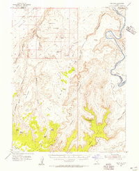
1953 Map of The Spur
USGS Topo · Published 1956About this map
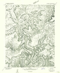
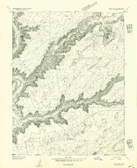
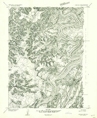
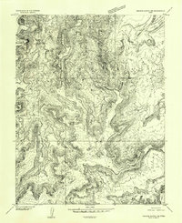
Tidwell Ranch and the ancient record of Petroglyphs anchor this high desert landscape during the mid-1950s. The region is defined by the winding course of the Green River as it carves through Stillwater Canyon, creating a sequence of distinct alluvial flats known as bottoms, including Fort Bottom, Potato Bottom, and Anderson Bottom. These riverine features contrast sharply with the massive verticality of the Orange Cliffs and the prominent spire of Cleopatras Chair.
Find a feature on this map
54 named features on this map. Tap any name to fly to it.
Don’t see what you’re looking for? This feature index may not catch every label — zoom into the map to look around manually.
Map Details
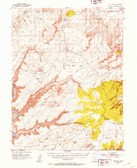
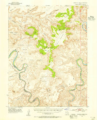
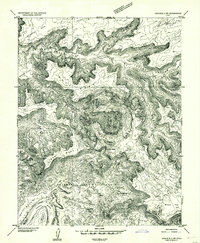
Editions of this 1953 The Spur Map
4 editions found
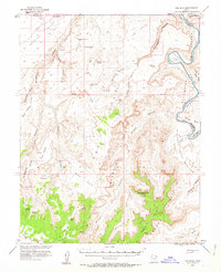
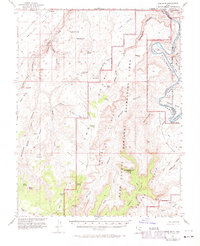
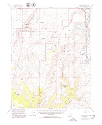
Other maps of this area

1885 · San Rafael
USGS Topo · 1:250,000

1885 · La Sal
USGS Topo · 1:250,000
1951 · The Knoll
USGS Topo · 1:62,500
1951 · Upheaval Dome
USGS Topo · 1:62,500

1952 · Tidwell 4 SE
USGS Topo · 1:24,000
1952 · Carlisle 2 NW
USGS Topo · 1:24,000
1952 · Carlisle 2 SW
USGS Topo · 1:24,000
1952 · Moab 3 SW
USGS Topo · 1:24,000
1953 · Carlisle 3 NW
USGS Topo · 1:24,000
1953 · Orange Cliffs 1 SE
USGS Topo · 1:24,000