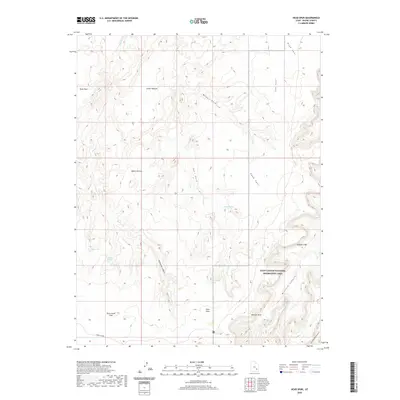
2020 Map of Head Spur
USGS Topo · Published 2020About this map
Glen Canyon National Recreation Area dominates the southeastern portion of this landscape, where the terrain breaks into the deep incisions of Millard Canyon and its tributaries. The high plateaus are marked by distinct grazing and transit areas such as Hans Flats, Upper Pasture, and Goat Park. This 2020 survey illustrates a remote corner of Wayne County defined by its water sources and dramatic elevation changes, with remote locations like Outlaw Spring, Trail Spring, and Wildcat Spring serving as vital landmarks in an otherwise arid environment.
Find a feature on this map
22 named features on this map. Tap any name to fly to it.
Don’t see what you’re looking for? This feature index may not catch every label — zoom into the map to look around manually.
Map Details
Editions of this 2020 Head Spur Map
This is the sole edition of this map. No revisions or reprints were ever made.
Other maps of this area

1885 · San Rafael
USGS Topo · 1:250,000

1953 · Orange Cliffs 1 SE
USGS Topo · 1:24,000

1953 · Orange Cliffs 4 NW
USGS Topo · 1:24,000

1953 · Orange Cliffs 4 NE
USGS Topo · 1:24,000

1953 · Orange Cliffs 3 NE
USGS Topo · 1:24,000

1953 · Orange Cliffs 1 NE
USGS Topo · 1:24,000

1953 · The Spur
USGS Topo · 1:62,500

1953 · Fiddler Butte
USGS Topo · 1:62,500

1953 · Orange Cliffs
USGS Topo · 1:62,500

1956 · Salina
USGS Topo · 1:250,000