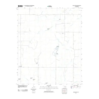
2009 Map of Healdton SE
USGS Topo · Published 2009About this map
Oswalt Cemetery and the drainage basins of Southern Oklahoma define this landscape, where the waters of Walnut Bayou and Polecat Creek converge. The area is marked by a sophisticated network of water management, evidenced by numerous structures such as the Battle Springs Lake Dam and various site-specific installations like Lower Bayou Creek Site 7 Dam. These features illustrate the intersection of agricultural land use and hydrologic control in Love County.
Find a feature on this map
37 named features on this map. Tap any name to fly to it.
Don’t see what you’re looking for? This feature index may not catch every label — zoom into the map to look around manually.
Map Details
Editions of this 2009 Healdton SE Map
This is the sole edition of this map. No revisions or reprints were ever made.
Other maps of this area

1901 · Ardmore
USGS Topo · 1:125,000

1902 · Gainesville
USGS Topo · 1:125,000

1918 · Ardmore
USGS Topo · 1:125,000

1943 · Gainesville
USGS Topo · 1:125,000

1954 · Sherman
USGS Topo · 1:250,000

1957 · Ardmore
USGS Topo · 1:250,000

1958 · Sherman
USGS Topo · 1:250,000

1963 · Ardmore
USGS Topo · 1:250,000

1964 · Ardmore West
USGS Topo · 1:24,000

1964 · Overbrook
USGS Topo · 1:24,000