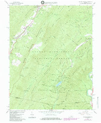
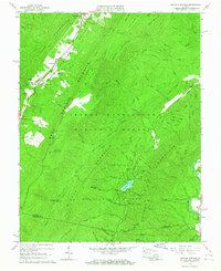
1966 Map of Healing Springs
USGS Topo · Published 1984About this map
Hot Springs and the surrounding thermal waters anchor this mid-century survey of the high Alleghenies. The landscape is defined by the steep, parallel ridges of Warm Springs Mountain and Middle Mountain, where historic resort communities like Healing Springs and Ashwood established themselves along the narrow valley floors. Transportation into this high-elevation terrain is marked by Skyline Drive and the aviation hub at Ingalls Field, which sits atop a high ridge overlooking the George Washington National Forest.
Find a feature on this map
74 named features on this map. Tap any name to fly to it.
Don’t see what you’re looking for? This feature index may not catch every label — zoom into the map to look around manually.
Map Details
Editions of this 1966 Healing Springs Map
2 editions found
Other maps of this area

1894 · Natural Bridge
USGS Topo · 1:125,000

1901 · Monterey
USGS Topo · 1:125,000

1923 · Warm Springs
USGS Topo · 1:48,000

1926 · Warm Springs
USGS Topo · 1:62,500

1929 · Falling Spring
USGS Topo · 1:24,000

1930 · Warm Springs Run
USGS Topo · 1:24,000

1930 · Mountain Grove
USGS Topo · 1:24,000

1931 · Healing Springs
USGS Topo · 1:24,000

1932 · Falling Spring
USGS Topo · 1:31,680

1933 · Mountain Grove
USGS Topo · 1:31,680