
2013 Map of Heart of the Sands
USGS Topo · Published 2013About this map
White Sands National Monument dominates this portion of the Tularosa Valley, preserving a landscape shaped by shifting gypsum dunes. This 2013 survey by the U.S. Geological Survey documents the distinct environmental zones within the monument, including the vast Alkali Flat and the iconic White Sands formations. The map illustrates the minimal human intervention in this protected area, showing only a few established routes such as Loop Dr navigating the dunes. Researchers and geologists can use this data to study the subtle topographic changes in the basin floor, where public land survey system lines from t17s r6e and t18s r7e intersect with the natural boundaries of the dunefield.
Find a feature on this map
11 named features on this map. Tap any name to fly to it.
Don’t see what you’re looking for? This feature index may not catch every label — zoom into the map to look around manually.
Map Details
Editions of this 2013 Heart of the Sands Map
This is the sole edition of this map. No revisions or reprints were ever made.
Other maps of this area

1916 · Point Of Sands
USGS Topo · 1:125,000

1947 · Point Of Sands 2
USGS Topo · 1:62,500

1947 · Lake Lucero
USGS Topo · 1:62,500

1948 · Tres Hermanos
USGS Topo · 1:62,500

1948 · Holloman
USGS Topo · 1:62,500

1948 · Lake Lucero
USGS Topo · 1:24,000
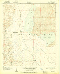
1950 · Lake Lucero
USGS Topo · 1:24,000
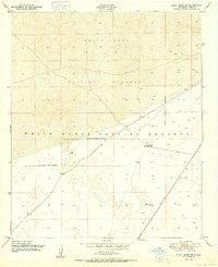
1950 · Lake Lucero NE
USGS Topo · 1:24,000

1955 · Las Cruces
USGS Topo · 1:250,000

1958 · Las Cruces
USGS Topo · 1:250,000