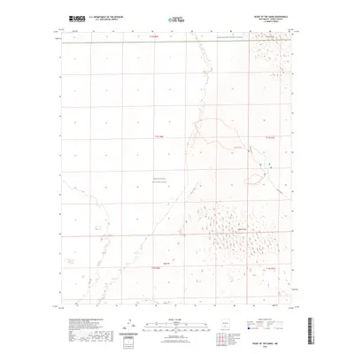
2023 Map of Heart of the Sands
USGS Topo · Published 2023About this map
White Sands National Park occupies much of this landscape, where the shifting topography of White Sands meets the expansive Alkali Flat. This modern survey illustrates the proximity of federal lands, specifically where the northern boundary of the park abuts the White Sands Missile Range. Human access to this sensitive environment is channeled through Dunes Drive, providing a route into the heart of the gypsum dunes. For those exploring on foot, the map delineates specific corridors such as the Alkali Flat Trl and the Backcountry Camping Loop Trl. The layout reveals a landscape managed for both preservation and military utility, defined by its lack of permanent settlements and its reliance on these established trails and roads to navigate the high-desert terrain of Otero County.
Find a feature on this map
13 named features on this map. Tap any name to fly to it.
Don’t see what you’re looking for? This feature index may not catch every label — zoom into the map to look around manually.
Map Details
Editions of this 2023 Heart of the Sands Map
This is the sole edition of this map. No revisions or reprints were ever made.
Other maps of this area

1916 · Point Of Sands
USGS Topo · 1:125,000

1947 · Point Of Sands 2
USGS Topo · 1:62,500

1947 · Lake Lucero
USGS Topo · 1:62,500

1948 · Tres Hermanos
USGS Topo · 1:62,500

1948 · Holloman
USGS Topo · 1:62,500

1948 · Lake Lucero
USGS Topo · 1:24,000
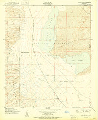
1950 · Lake Lucero
USGS Topo · 1:24,000
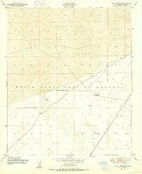
1950 · Lake Lucero NE
USGS Topo · 1:24,000

1955 · Las Cruces
USGS Topo · 1:250,000

1958 · Las Cruces
USGS Topo · 1:250,000