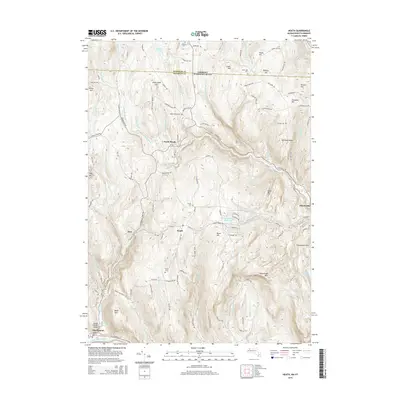
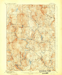
2015 Map of Heath
USGS Topo · Published 2015About this map
Heath and its surrounding hamlets sit amidst the elevated terrain of Franklin County, where the Massachusetts border meets Windham County, Vermont. The landscape is defined by its numerous ridges and peaks, including Pocumtuck Mtn and Kennedy Ridge, which are drained by a complex network of waterways like the W Br North River and Heath Brook. Settlement patterns are concentrated around historic centers such as North Heath and Dell, while the Deerfield River forms a significant boundary at the southern edge near Charlemont.
Find a feature on this map
127 named features on this map. Tap any name to fly to it.
Don’t see what you’re looking for? This feature index may not catch every label — zoom into the map to look around manually.
Map Details
Editions of this 2015 Heath Map
This is the sole edition of this map. No revisions or reprints were ever made.
Other maps of this area

1886 · Hawley
USGS Topo · 1:62,500
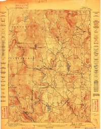
1889 · Wilmington
USGS Topo · 1:62,500
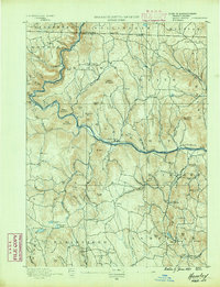
1890 · Hawley
USGS Topo · 1:62,500

1890 · Greenfield
USGS Topo · 1:62,500
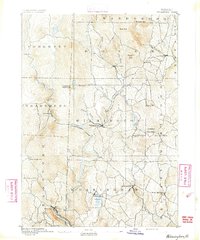
1891 · Wilmington
USGS Topo · 1:62,500
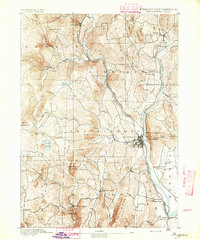
1891 · Brattleboro
USGS Topo · 1:62,500
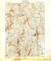
1893 · Brattleboro
USGS Topo · 1:62,500
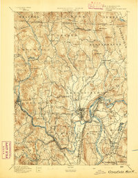
1894 · Greenfield
USGS Topo · 1:62,500
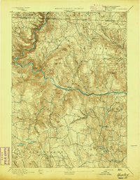
1894 · Hawley
USGS Topo · 1:62,500
1899 · Wilmington
USGS Topo · 1:62,500