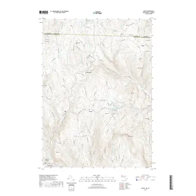
2018 Map of Heath
USGS Topo · Published 2018About this map
Heath serves as the central hub for this borderland geography, where the Massachusetts and Vermont state lines meet across high-elevation ridge-lines. The landscape is defined by its numerous small burial grounds, including the Maple Grove Cem, Center Cem, and the high Cristian Hill Cem, reflecting the early settlement patterns and family lineages of this Franklin County interior. The terrain is deeply incised by watercourses like Avery Brook and West Branch North River, which fall toward the Deerfield River valley to the south.
Find a feature on this map
133 named features on this map. Tap any name to fly to it.
Don’t see what you’re looking for? This feature index may not catch every label — zoom into the map to look around manually.
Map Details
Editions of this 2018 Heath Map
This is the sole edition of this map. No revisions or reprints were ever made.
Other maps of this area

1886 · Hawley
USGS Topo · 1:62,500

1889 · Wilmington
USGS Topo · 1:62,500

1890 · Hawley
USGS Topo · 1:62,500

1890 · Greenfield
USGS Topo · 1:62,500

1891 · Wilmington
USGS Topo · 1:62,500

1891 · Brattleboro
USGS Topo · 1:62,500

1893 · Brattleboro
USGS Topo · 1:62,500

1894 · Greenfield
USGS Topo · 1:62,500

1894 · Hawley
USGS Topo · 1:62,500

1899 · Wilmington
USGS Topo · 1:62,500