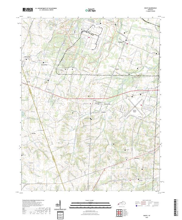
2022 Map of Heath
USGS Topo · Published 2022About this map
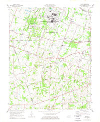
Barkley Regional Airport anchors the eastern edge of this McCracken County landscape, situated near a dense network of local settlements and cemeteries. Small communities like Grahamville, Heath, and West Future City are connected by a grid of rural roads and historical routes such as the Arthur-Curtis Horse Trl. The area is defined by the headwaters of several drainages, including the W Fork Massac Cr and Little Massac Cr, which carve through the terrain between the Ohio River valley and the Kentucky interior.
Find a feature on this map
123 named features on this map. Tap any name to fly to it.
Don’t see what you’re looking for? This feature index may not catch every label — zoom into the map to look around manually.
Map Details
Editions of this 2022 Heath Map
This is the sole edition of this map. No revisions or reprints were ever made.
Historical Maps of Camelia Through Time
11 maps found
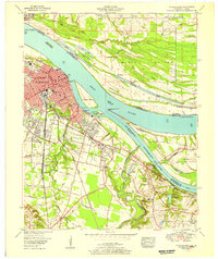
1953 Paducah East
McCracken County, KY
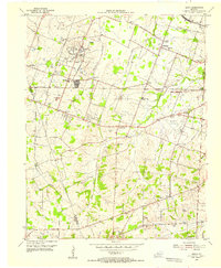
1954 Heath
McCracken County, KY
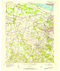
1954 Paducah West
McCracken County, KY
1958 Paducah East
McCracken County, KY
1958 Paducah West
McCracken County, KY
1978 Heath
McCracken County, KY
1982 Paducah East
McCracken County, KY
1982 Paducah West
McCracken County, KY
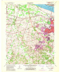
2022 Heath
McCracken County, KY
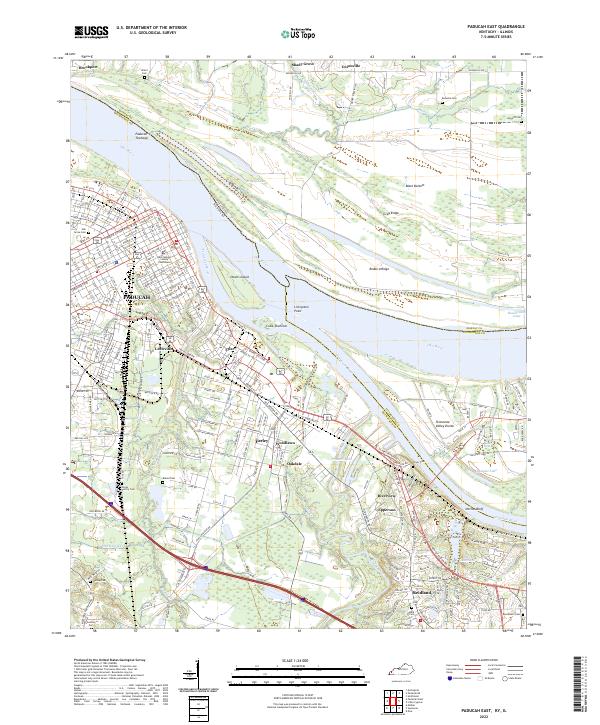
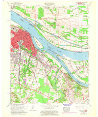
2022 Paducah East
McCracken County, KY
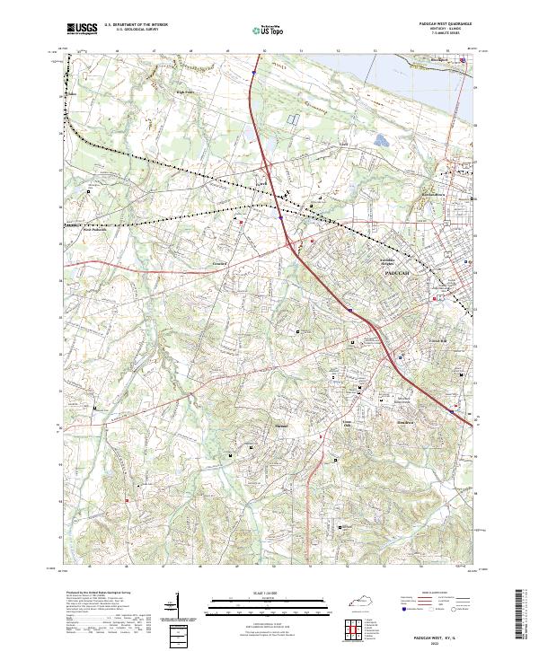
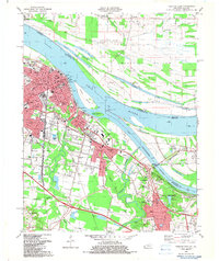
2022 Paducah West
McCracken County, KY