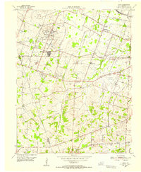
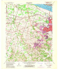
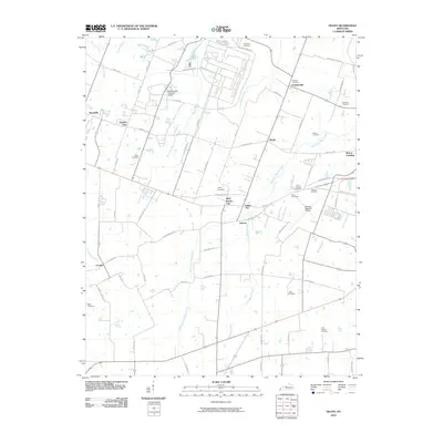
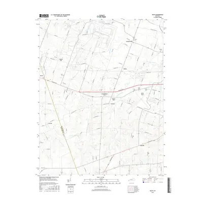
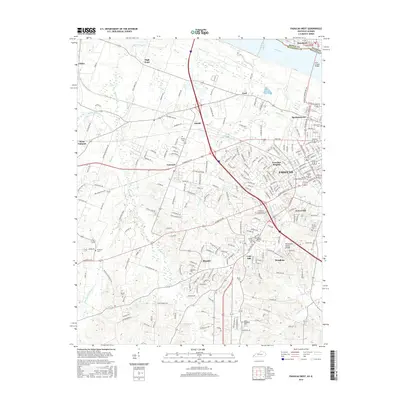
1954 Map of Heath
USGS Topo · Published 1955About this map
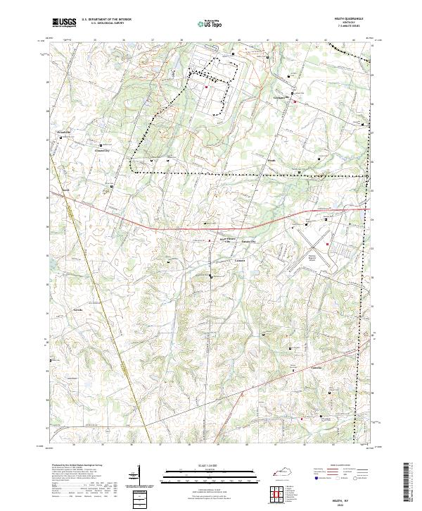
The Old Kentucky Ordnance Works and its surrounding network of gravel pits and industrial infrastructure dominate the northern landscape of this McCracken County region during the mid-1950s. The presence of Future City and Cimota City alongside the sprawling Barkley Airfield reveals a mid-century period of rapid expansion and defense-related activity. This growth contrasts with the established rural character found further south, where numerous small congregations and family landmarks such as Carneal Chapel, Bethel Ch, and Hills Chapel anchor local communities.
Find a feature on this map
52 named features on this map. Tap any name to fly to it.
Don’t see what you’re looking for? This feature index may not catch every label — zoom into the map to look around manually.
Map Details
Editions of this 1954 Heath Map
This is the sole edition of this map. No revisions or reprints were ever made.
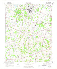
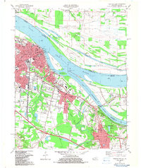
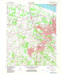
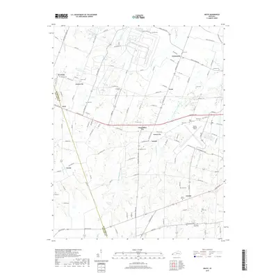
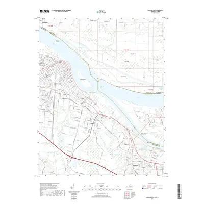
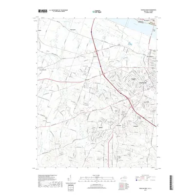
Historical Maps of Kevil Through Time
23 maps found
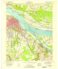
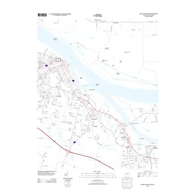
1953 Paducah East
McCracken County, KY
1954 Heath
McCracken County, KY
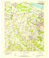
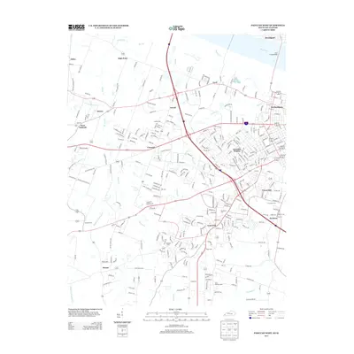
1954 Paducah West
McCracken County, KY
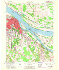
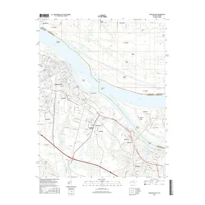
1958 Paducah East
McCracken County, KY
1958 Paducah West
McCracken County, KY
1978 Heath
McCracken County, KY
1982 Paducah East
McCracken County, KY
1982 Paducah West
McCracken County, KY
2010 Heath
McCracken County, KY
2010 Paducah East
McCracken County, KY
2010 Paducah West
McCracken County, KY
2013 Heath
McCracken County, KY
2013 Paducah East
McCracken County, KY
2013 Paducah West
McCracken County, KY
2016 Heath
McCracken County, KY
2016 Paducah East
McCracken County, KY
2016 Paducah West
McCracken County, KY
2019 Heath
McCracken County, KY
2019 Paducah East
McCracken County, KY
2019 Paducah West
McCracken County, KY
2022 Heath
McCracken County, KY
2022 Paducah East
McCracken County, KY
2022 Paducah West
McCracken County, KY