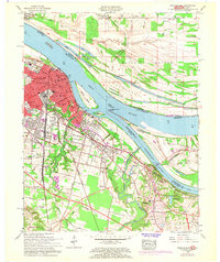
1958 Map of Paducah East
USGS Topo · Published 1968About this map
Paducah sits at the vital confluence of the Ohio River and Tennessee River, serving as a major transportation hub in the late 1950s. The city's rail-and-river economy is evident in the dense network of the Illinois Central railroad, which services the North Yard and South Yard, while the Union Station marks the center of urban transit. The 1968 photorevision highlights suburban growth in purple, particularly around outlying communities such as Littleville, Tyler, and Woodlawn.
Find a feature on this map
98 named features on this map. Tap any name to fly to it.
Don’t see what you’re looking for? This feature index may not catch every label — zoom into the map to look around manually.
Map Details
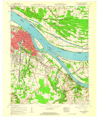
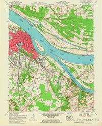
Editions of this 1958 Paducah East Map
3 editions found
Other maps of this area

1926 · Paducah
USGS Topo · 1:62,500

1929 · Smithland
USGS Topo · 1:62,500

1929 · Paducah
USGS Topo · 1:62,500

1936 · Melber
USGS Topo · 1:24,000

1936 · Paducah
USGS Topo · 1:24,000

1936 · Elva
USGS Topo · 1:24,000

1936 · Smithland
USGS Topo · 1:48,000

1936 · Symsonia
USGS Topo · 1:24,000

1936 · Benton
USGS Topo · 1:48,000

1936 · Little Cypress
USGS Topo · 1:24,000