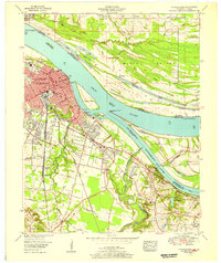
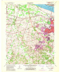
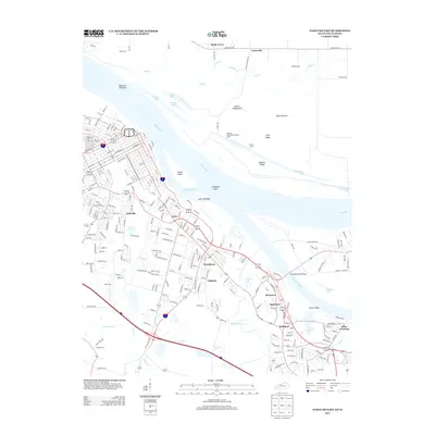
1953 Map of Paducah East
USGS Topo · Published 1956About this map
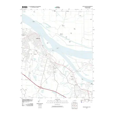
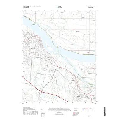
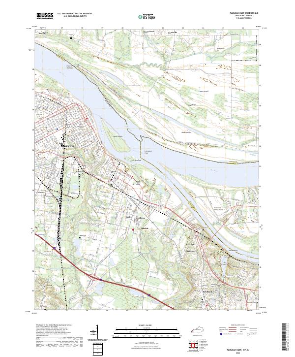
Paducah sits at the vital confluence where the Ohio River meets the Tennessee River, serving as a major hub for river commerce and rail transport in the early 1950s. The city's urban grid is dense with institutional landmarks, including the Augusta Tilghman High School, Riverside Hospital, and the Illinois Central Hospital, reflecting its role as a regional service center. The infrastructure of the Illinois Central Railroad dominates the industrial landscape, connecting the riverfront to inland routes.
Find a feature on this map
77 named features on this map. Tap any name to fly to it.
Don’t see what you’re looking for? This feature index may not catch every label — zoom into the map to look around manually.
Map Details
Editions of this 1953 Paducah East Map
This is the sole edition of this map. No revisions or reprints were ever made.
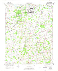
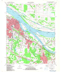
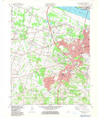
Historical Maps of Paducah Through Time
23 maps found
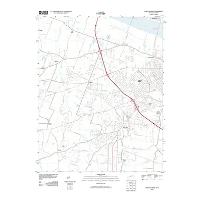
1953 Paducah East
McCracken County, KY
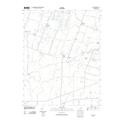
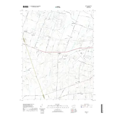
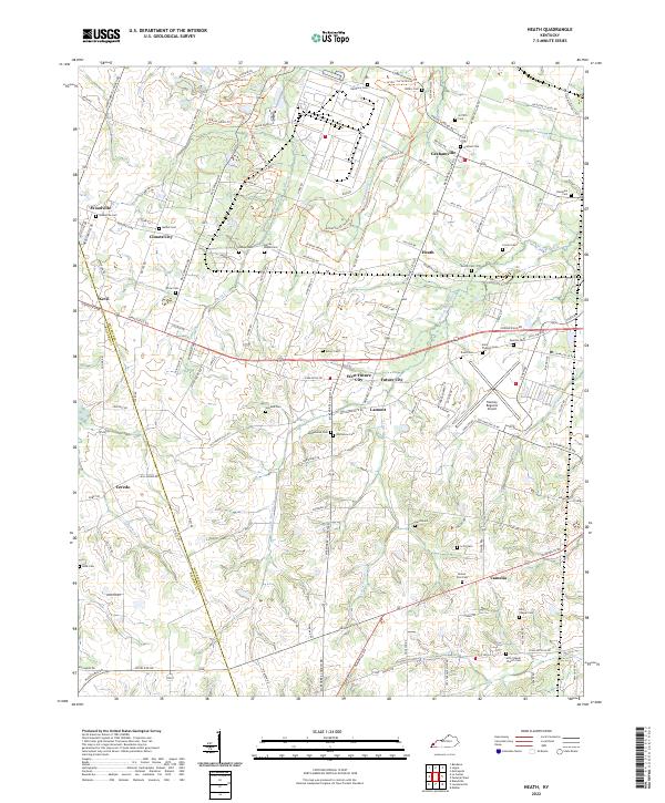
1954 Heath
McCracken County, KY
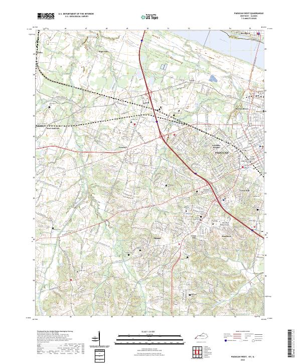
1954 Paducah West
McCracken County, KY
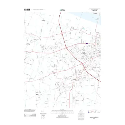
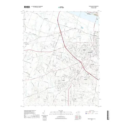
1958 Paducah East
McCracken County, KY
1958 Paducah West
McCracken County, KY
1978 Heath
McCracken County, KY
1982 Paducah East
McCracken County, KY
1982 Paducah West
McCracken County, KY
2010 Heath
McCracken County, KY
2010 Paducah East
McCracken County, KY
2010 Paducah West
McCracken County, KY
2013 Heath
McCracken County, KY
2013 Paducah East
McCracken County, KY
2013 Paducah West
McCracken County, KY
2016 Heath
McCracken County, KY
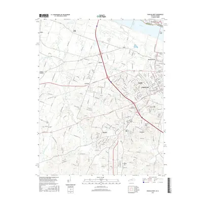
2016 Paducah East
McCracken County, KY
2016 Paducah West
McCracken County, KY
2019 Heath
McCracken County, KY
2019 Paducah East
McCracken County, KY
2019 Paducah West
McCracken County, KY
2022 Heath
McCracken County, KY
2022 Paducah East
McCracken County, KY
2022 Paducah West
McCracken County, KY