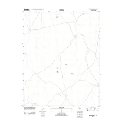
2011 Map of Heaton Knolls
USGS Topo · Published 2011About this map
Red Blanket Ranch and a network of isolated water catchments define this high-desert landscape in Mohave County. In an environment where water management is central to land use, the map documents numerous named resources such as Heaton Reservoir, Earl Reservoir, and the Heaton Knolls Catchment. The terrain is characterized by prominent geologic features including Little Hurricane Ridge and the Heaton Knolls, which provide vertical contrast to the surrounding basins. A boundary of Grand Canyon National Park cuts through the southern portion of the sheet, marking the transition from ranching and range land into protected federal wilderness. Long-distance transit is represented by Mount Trumbull Rd, a primary corridor through this sparsely populated territory.
Find a feature on this map
15 named features on this map. Tap any name to fly to it.
Don’t see what you’re looking for? This feature index may not catch every label — zoom into the map to look around manually.
Map Details
Editions of this 2011 Heaton Knolls Map
This is the sole edition of this map. No revisions or reprints were ever made.
Other maps of this area

1886 · Mt. Trumbull
USGS Topo · 1:250,000

1886 · Kaibab
USGS Topo · 1:250,000

1892 · Mt. Trumbull
USGS Topo · 1:250,000

1953 · Grand Canyon
USGS Topo · 1:250,000

1954 · Heaton Knolls NW
USGS Topo · 1:24,000

1954 · Heaton Knolls SE
USGS Topo · 1:24,000

1954 · Heaton Knolls
USGS Topo · 1:62,500

1957 · Grand Canyon
USGS Topo · 1:250,000

1958 · Grand Canyon
USGS Topo · 1:250,000

1960 · Grand Canyon
USGS Topo · 1:250,000