
1954 Map of Heaton Knolls
USGS Topo · Published 1959About this map
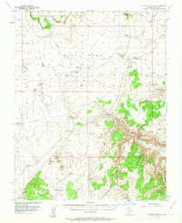
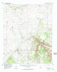
Red Blanket Ranch stands as a focal point of human activity in this mid-century livestock-driven landscape, situated near Grassy Cave and the distinct volcanic formations of Heaton Knolls. The map reveals a sophisticated water management system critical for ranching in the arid Arizona interior, featuring numerous man-made catchments like Heaton Reservoir, Sims Reservoir, and Jackson Reservoir. Topographic details highlight the dramatic descent from Yellowstone Mesa through the complex of Wild Band Valley and Antelope Valley. The remote industrial footprint of the era is evidenced by the Hack Canyon Mine tucked into the deep incision of Hack Canyon. This 1950s survey illustrates a region where life was dictated by the availability of water at places like Yellowstone Spring and Bundy Ponds, connected only by a network of rugged jeep trails.
Find a feature on this map
38 named features on this map. Tap any name to fly to it.
Don’t see what you’re looking for? This feature index may not catch every label — zoom into the map to look around manually.
Map Details
Editions of this 1954 Heaton Knolls Map
3 editions found
Other maps of this area

1886 · Mt. Trumbull
USGS Topo · 1:250,000

1886 · Kaibab
USGS Topo · 1:250,000

1892 · Mt. Trumbull
USGS Topo · 1:250,000

1953 · Grand Canyon
USGS Topo · 1:250,000

1954 · Heaton Knolls NW
USGS Topo · 1:24,000

1954 · Lost Spring SE
USGS Topo · 1:24,000
1954 · Short Creek SW
USGS Topo · 1:24,000

1954 · Short Creek SE
USGS Topo · 1:24,000

1954 · Heaton Knolls SE
USGS Topo · 1:24,000

1954 · Fredonia SW
USGS Topo · 1:24,000