
1954 Map of Heaton Knolls NW
USGS Topo · Published 1956About this map
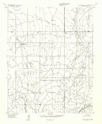
Yellowstone Mesa and the expansive Upper Clay Hole Valley dominate this mid-century landscape in Mohave County. The map reveals an arid region where water management was critical for cattle ranching and survival, evidenced by the strategic placement of Yellowstone Spring and several remote water tanks labeled simply as Res. Early travel through the desert is traced by a Jeep Trail that cuts across the Wild Band Pockets, a name suggesting the historical presence of wild horse herds in these natural catchments.
Find a feature on this map
20 named features on this map. Tap any name to fly to it.
Don’t see what you’re looking for? This feature index may not catch every label — zoom into the map to look around manually.
Map Details
Editions of this 1954 Heaton Knolls NW Map
This is the sole edition of this map. No revisions or reprints were ever made.
Other maps of this area

1886 · Mt. Trumbull
USGS Topo · 1:250,000

1886 · Kaibab
USGS Topo · 1:250,000

1892 · Mt. Trumbull
USGS Topo · 1:250,000

1953 · Grand Canyon
USGS Topo · 1:250,000

1954 · Lost Spring SE
USGS Topo · 1:24,000
1954 · Short Creek SW
USGS Topo · 1:24,000

1954 · Short Creek SE
USGS Topo · 1:24,000

1954 · Heaton Knolls SE
USGS Topo · 1:24,000
1954 · Lost Spring Mtn
USGS Topo · 1:62,500

1954 · Short Creek
USGS Topo · 1:62,500