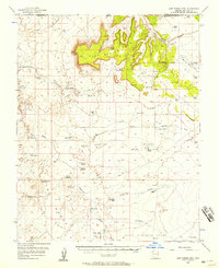
1954 Map of Lost Spring Mtn
USGS Topo · Published 1958About this map
Lost Spring Mtn dominates this high-desert terrain on the border of Washington County, Utah, and Mohave County, Arizona. The landscape in the mid-1950s is defined by a sparse but critical network of water improvements essential for ranching and survival in the arid West. Family-named landmarks such as Burts Well, Atkins Well, Childers Well, and Harolds Reservoir are scattered across the flats and washes, indicating a history of individual effort to secure water rights in the Upper Clayhole Valley.
Find a feature on this map
38 named features on this map. Tap any name to fly to it.
Don’t see what you’re looking for? This feature index may not catch every label — zoom into the map to look around manually.
Map Details
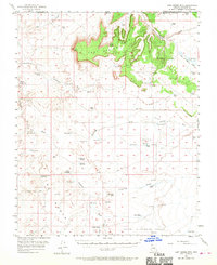
Editions of this 1954 Lost Spring Mtn Map
2 editions found
Other maps of this area

1885 · St. George
USGS Topo · 1:250,000

1886 · Kanab
USGS Topo · 1:250,000

1886 · Mt. Trumbull
USGS Topo · 1:250,000

1886 · Kaibab
USGS Topo · 1:250,000

1891 · St. George
USGS Topo · 1:250,000

1892 · Mt. Trumbull
USGS Topo · 1:250,000

1953 · Cedar City
USGS Topo · 1:250,000

1953 · Grand Canyon
USGS Topo · 1:250,000

1954 · La Verkin 4 SE
USGS Topo · 1:24,000

1954 · La Verkin 4 SW
USGS Topo · 1:24,000