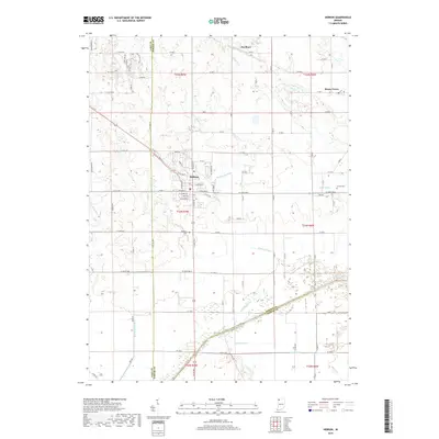
2019 Map of Hebron
USGS Topo · Published 2019About this map
The town of Hebron anchors this portion of Northwest Indiana, situated at the intersection of State Roads 2 and 231. The landscape reveals a complex network of drainage and water management that has shaped local agriculture, with the Kankakee River flowing along the southern boundary and numerous channels like Henderson Ditch, Cornell Ditch, and Brown Levee Ditch cutting through the countryside. This infrastructure reflects the region's history of reclaiming marshland for farming.
Find a feature on this map
94 named features on this map. Tap any name to fly to it.
Don’t see what you’re looking for? This feature index may not catch every label — zoom into the map to look around manually.
Map Details
Editions of this 2019 Hebron Map
This is the sole edition of this map. No revisions or reprints were ever made.
Other maps of this area

1953 · Leroy
USGS Topo · 1:24,000

1953 · Palmer
USGS Topo · 1:24,000

1953 · Crown Point
USGS Topo · 1:24,000

1953 · Hebron
USGS Topo · 1:24,000

1953 · Valparaiso
USGS Topo · 1:24,000

1953 · Kouts
USGS Topo · 1:24,000

1953 · Chicago
USGS Topo · 1:250,000

1957 · Chicago
USGS Topo · 1:250,000

1957 · Wheatfield
USGS Topo · 1:24,000

1957 · DeMotte
USGS Topo · 1:24,000