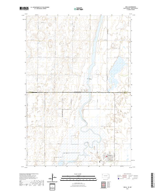
2021 Map of Hecla
USGS Topo · Published 2021About this map
The town of Hecla serves as the focal point of this borderland survey, situated just south of the divide between South Dakota and North Dakota. The landscape is defined by the winding course of the James River, which meanders through a series of wetlands and seasonal water features, including Hyatt Slough and the Dry Run drainage. In town, the Po and Hecla City Cem provide essential anchor points for genealogists and local historians tracking the development of this prairie community. The rectilinear road grid, marked by routes such as State Line Rd and Co Rd 18, contrasts with the organic curves of the river, illustrating the systematic agricultural division of the Plains. This map documents the complex hydrology of the region, where the river's path creates a broad, marshy corridor that significantly influences local land use and transportation patterns.
Find a feature on this map
27 named features on this map. Tap any name to fly to it.
Don’t see what you’re looking for? This feature index may not catch every label — zoom into the map to look around manually.
Map Details
Editions of this 2021 Hecla Map
This is the sole edition of this map. No revisions or reprints were ever made.
Other maps of this area

1894 · Hecla
USGS Topo · 1:62,500

1894 · Savo
USGS Topo · 1:62,500

1894 · Fullerton
USGS Topo · 1:62,500

1894 · Oakes
USGS Topo · 1:62,500

1895 · Lamoure
USGS Topo · 1:125,000

1896 · Columbia
USGS Topo · 1:125,000

1918 · La Moure
USGS Topo · 1:125,000

1953 · Jamestown
USGS Topo · 1:250,000

1953 · Hecla SE
USGS Topo · 1:24,000

1953 · Houghton
USGS Topo · 1:24,000