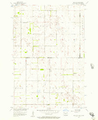
1956 Map of Hecla NE
USGS Topo · Published 1957About this map
The prairie landscape of the Great Plains is captured here across the state line of North Dakota and South Dakota. This 1956 survey focuses on a remote agricultural region divided into townships such as Lovell, Portage, and Hecla. The map reveals a rural social structure anchored by small country schools distributed to serve farm families, including Eaton Sch No 2, Tiry Sch, Pearson Sch, and Johnson Sch. These landmarks, often the only public buildings for miles, are vital markers for genealogists tracing ancestral homesteads in Dickey Co and Brown Co. Water management is a visible priority in this environment, evidenced by the scattered notation of a Flowing Well and other wells necessary for sustaining livestock and households in the semi-arid northern plains. The survey was part of a larger effort for the development of the Missouri River Basin, reflecting mid-century federal interest in the hydrology and land use of the Dakotas.
Find a feature on this map
14 named features on this map. Tap any name to fly to it.
Don’t see what you’re looking for? This feature index may not catch every label — zoom into the map to look around manually.
Map Details
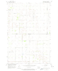
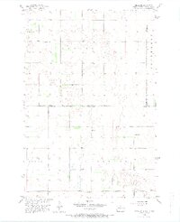
Editions of this 1956 Hecla NE Map
3 editions found
Other maps of this area

1894 · Hecla
USGS Topo · 1:62,500

1894 · Oakes
USGS Topo · 1:62,500

1895 · Lamoure
USGS Topo · 1:125,000

1896 · Columbia
USGS Topo · 1:125,000

1918 · La Moure
USGS Topo · 1:125,000

1953 · Jamestown
USGS Topo · 1:250,000

1953 · Hecla SE
USGS Topo · 1:24,000

1953 · Houghton
USGS Topo · 1:24,000

1953 · Newark SW
USGS Topo · 1:24,000

1953 · Milbank
USGS Topo · 1:250,000