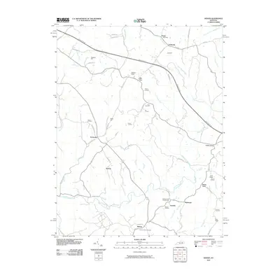
2010 Map of Hedges
USGS Topo · Published 2010About this map
Agawam and Ruckerville anchor this central Kentucky landscape, where the headwaters of Upper Howard Creek and the Red River have carved a network of ridges and hollows. The settlement pattern is defined by traditional crossroads and family-named landmarks, reflecting generations of rural continuity. Genealogists will find a high density of small family burial grounds, including Adams Cemetery, Irvin Cemetery, and Fox Cemetery, often situated on high ground near winding rural routes like Fox Quesenberry Rd.
Find a feature on this map
68 named features on this map. Tap any name to fly to it.
Don’t see what you’re looking for? This feature index may not catch every label — zoom into the map to look around manually.
Map Details
Editions of this 2010 Hedges Map
This is the sole edition of this map. No revisions or reprints were ever made.
Other maps of this area

1892 · Richmond
USGS Topo · 1:125,000

1892 · Beattyville
USGS Topo · 1:125,000

1897 · Richmond
USGS Topo · 1:125,000

1950 · Levee
USGS Topo · 1:24,000

1952 · Union City
USGS Topo · 1:24,000

1952 · Palmer
USGS Topo · 1:24,000

1952 · Clay City
USGS Topo · 1:24,000

1952 · Mount Sterling
USGS Topo · 1:24,000

1952 · Austerlitz
USGS Topo · 1:24,000

1952 · Levee
USGS Topo · 1:24,000