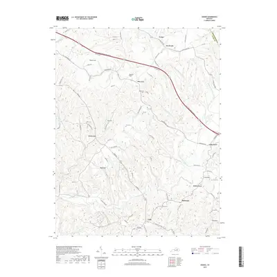
2019 Map of Hedges
USGS Topo · Published 2019About this map
The ridge-and-valley landscape of eastern Clark County is defined by the winding course of Upper Howard Creek and its many tributaries, such as Dry Fork and Kings Fork. This rural region is characterized by small, dispersed settlements and a network of family cemeteries that speak to generations of local residency. The Bert T Combs Mountain Parkway cuts a modern path across the northern landscape, contrasting with the older, winding routes like Ironworks Rd and Schollsville Rd that connect historically significant locales.
Find a feature on this map
85 named features on this map. Tap any name to fly to it.
Don’t see what you’re looking for? This feature index may not catch every label — zoom into the map to look around manually.
Map Details
Editions of this 2019 Hedges Map
This is the sole edition of this map. No revisions or reprints were ever made.
Other maps of this area

1892 · Richmond
USGS Topo · 1:125,000

1892 · Beattyville
USGS Topo · 1:125,000

1897 · Richmond
USGS Topo · 1:125,000

1950 · Levee
USGS Topo · 1:24,000

1952 · Union City
USGS Topo · 1:24,000

1952 · Palmer
USGS Topo · 1:24,000

1952 · Clay City
USGS Topo · 1:24,000

1952 · Mount Sterling
USGS Topo · 1:24,000

1952 · Austerlitz
USGS Topo · 1:24,000

1952 · Levee
USGS Topo · 1:24,000