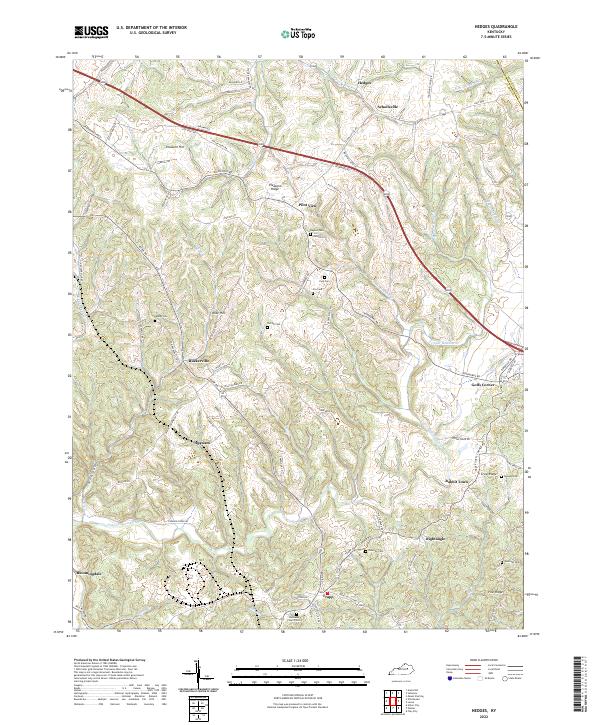
2022 Map of Hedges
USGS Topo · Published 2022About this map
The rolling landscape of eastern Clark County is defined by its deep agricultural roots and a network of small, established rural communities. This area, bordered to the northeast by Montgomery County, features a topography carved by Stoner Creek, Upper Howard Creek, and the Red River at its southern edge. Small settlements such as Pilot View, Ruckerville, and Schollsville dot the map, many situated at crossroads like Goffs Corner or along the winding Ironworks Road.
Find a feature on this map
82 named features on this map. Tap any name to fly to it.
Don’t see what you’re looking for? This feature index may not catch every label — zoom into the map to look around manually.
Map Details
Editions of this 2022 Hedges Map
This is the sole edition of this map. No revisions or reprints were ever made.
Other maps of this area

1892 · Richmond
USGS Topo · 1:125,000

1892 · Beattyville
USGS Topo · 1:125,000

1897 · Richmond
USGS Topo · 1:125,000

1950 · Levee
USGS Topo · 1:24,000

1952 · Union City
USGS Topo · 1:24,000

1952 · Palmer
USGS Topo · 1:24,000

1952 · Clay City
USGS Topo · 1:24,000

1952 · Mount Sterling
USGS Topo · 1:24,000

1952 · Austerlitz
USGS Topo · 1:24,000

1952 · Levee
USGS Topo · 1:24,000