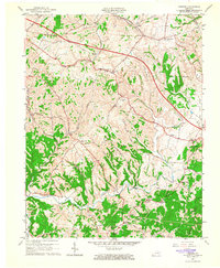
1965 Map of Hedges
USGS Topo · Published 1966About this map
Upper Howard Creek and the Mountain Parkway dominate the rural landscape of eastern Clark County during this mid-century period. The map reveals a high density of small communities and family-named landmarks established along the winding Kentucky ridges, including Schollsville, Ruckerville, and the curiously named Rightangle. Several schools and churches, such as Ephesus Ch and Pharris Hill Ch, serve as social anchors for these dispersed settlements.
Find a feature on this map
50 named features on this map. Tap any name to fly to it.
Don’t see what you’re looking for? This feature index may not catch every label — zoom into the map to look around manually.
Map Details
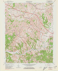
Editions of this 1965 Hedges Map
2 editions found
Other maps of this area

1892 · Richmond
USGS Topo · 1:125,000

1892 · Beattyville
USGS Topo · 1:125,000

1897 · Richmond
USGS Topo · 1:125,000

1950 · Levee
USGS Topo · 1:24,000

1952 · Union City
USGS Topo · 1:24,000

1952 · Palmer
USGS Topo · 1:24,000

1952 · Clay City
USGS Topo · 1:24,000

1952 · Mount Sterling
USGS Topo · 1:24,000

1952 · Austerlitz
USGS Topo · 1:24,000

1952 · Levee
USGS Topo · 1:24,000