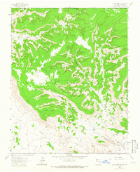
1963 Map of Heifer Point
USGS Topo · Published 1966About this map
The Ute Mountain Indian Reservation defines the northern landscape of this 1963 survey, where deep drainage systems like Salt Canyon and Straight Canyon carve through the high plateaus. This area straddles the Colorado and New Mexico border, showing a transition from the dissected canyon lands to the south where the Verde Field indicates mid-century energy exploration.
Find a feature on this map
22 named features on this map. Tap any name to fly to it.
Don’t see what you’re looking for? This feature index may not catch every label — zoom into the map to look around manually.
Map Details
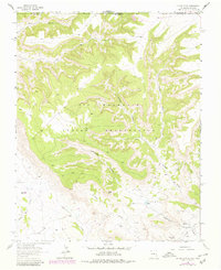
Editions of this 1963 Heifer Point Map
2 editions found
Other maps of this area

1889 · Chaco
USGS Topo · 1:250,000

1892 · Chaco
USGS Topo · 1:250,000

1912 · Soda Canyon
USGS Topo · 1:62,500

1915 · Soda Canyon
USGS Topo · 1:62,500

1934 · Chimney Rock
USGS Topo · 1:62,500

1936 · Chimney Rock
USGS Topo · 1:62,500

1954 · Shiprock
USGS Topo · 1:250,000

1956 · Cortez
USGS Topo · 1:250,000

1958 · Cortez
USGS Topo · 1:250,000

1958 · Shiprock
USGS Topo · 1:250,000