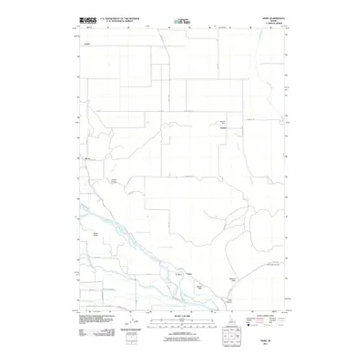
2011 Map of Heise
USGS Topo · Published 2011About this map
The Snake River defines this landscape as it winds past Butler Island and around the sharp turn at Tie Bend, anchoring an intricate network of irrigation canals that support the region’s agriculture. Water management is a central theme of the area, evidenced by the Sunnydell Canal, Farmers Friend Canal, and Anderson Canal which divert flow from the river and the Dry Bed. These human-made waterways intersect the natural drainage of Lyons Creek and Moody Creek, creating a hybrid landscape of natural hydrology and engineering.
Find a feature on this map
43 named features on this map. Tap any name to fly to it.
Don’t see what you’re looking for? This feature index may not catch every label — zoom into the map to look around manually.
Map Details
Editions of this 2011 Heise Map
This is the sole edition of this map. No revisions or reprints were ever made.
Other maps of this area

1949 · Rexburg
USGS Topo · 1:24,000

1950 · Ririe
USGS Topo · 1:24,000

1950 · Rexburg
USGS Topo · 1:24,000

1950 · Rigby
USGS Topo · 1:62,500

1950 · Rigby SE
USGS Topo · 1:24,000

1951 · Rigby SE
USGS Topo · 1:24,000

1951 · Moody
USGS Topo · 1:24,000

1951 · Poplar
USGS Topo · 1:24,000

1951 · Hawley Gulch
USGS Topo · 1:24,000

1951 · Heise
USGS Topo · 1:24,000