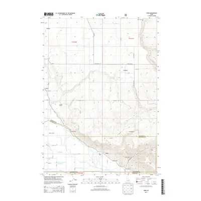
2013 Map of Heise
USGS Topo · Published 2013About this map
Geothermal activity and agricultural engineering define the landscape around the Snake River in this eastern Idaho survey. The settlement of Heise serves as a focal point near the river's bend, where thermal features like Heise Hot Springs, Elkhorn Warm Spring, and Hawley Warm Spring emerge from the complex geology of the canyon. To the north and west, a sophisticated network of water management infrastructure supports the region's farms, including the Sunnydell Canal, Enterprise Canal, and the descriptively named Farmers Friend Canal.
Find a feature on this map
55 named features on this map. Tap any name to fly to it.
Don’t see what you’re looking for? This feature index may not catch every label — zoom into the map to look around manually.
Map Details
Editions of this 2013 Heise Map
This is the sole edition of this map. No revisions or reprints were ever made.
Other maps of this area

1949 · Rexburg
USGS Topo · 1:24,000

1950 · Ririe
USGS Topo · 1:24,000

1950 · Rexburg
USGS Topo · 1:24,000

1950 · Rigby
USGS Topo · 1:62,500

1950 · Rigby SE
USGS Topo · 1:24,000

1951 · Rigby SE
USGS Topo · 1:24,000

1951 · Moody
USGS Topo · 1:24,000

1951 · Poplar
USGS Topo · 1:24,000

1951 · Hawley Gulch
USGS Topo · 1:24,000

1951 · Heise
USGS Topo · 1:24,000