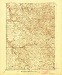
1926 Map of Hell Creek
USGS Topo · Published 1926About this map
The high-country drainage of Willow Creek and the eastern edge of the Caribou National Forest define this 1924 survey of the Idaho backcountry. Settled life centers on the community of Dehlin, where the Dehlin School and Pipe Creek School served local families. The landscape is characterized by its complex network of seasonal and year-round water sources, including Willow Springs and the expansive Fall Creek Basin. The topography is marked by significant landmarks like Jumpoff Hill and Fine Mtn, which straddle the border between Bonneville and Bingham counties. This map captures a moment when land divisions were anchored by the Boise Base Line, providing a clear look at early 20th-century montane ranching and forest land before significant modern development altered the creek systems and cattle ranges.
Find a feature on this map
40 named features on this map. Tap any name to fly to it.
Don’t see what you’re looking for? This feature index may not catch every label — zoom into the map to look around manually.
Map Details
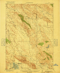
Editions of this 1926 Hell Creek Map
2 editions found
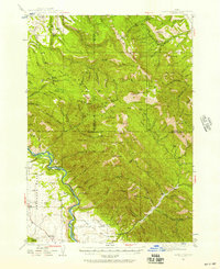
Other maps of this area
1917 · Cranes Flat
USGS Topo · 1:62,500
1918 · Paradise Valley
USGS Topo · 1:62,500

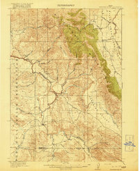
1924 · Hell Creek
USGS Topo · 1:62,500

1924 · Ammon
USGS Topo · 1:62,500

1926 · Hell Creek
USGS Topo · 1:62,500

1932 · Irwin
USGS Topo · 1:96,000

1935 · Irwin
USGS Topo · 1:125,000
1943 · Garns Mtn
USGS Topo · 1:62,500

1946 · Garns Mtn
USGS Topo · 1:62,500

1950 · Rigby
USGS Topo · 1:62,500