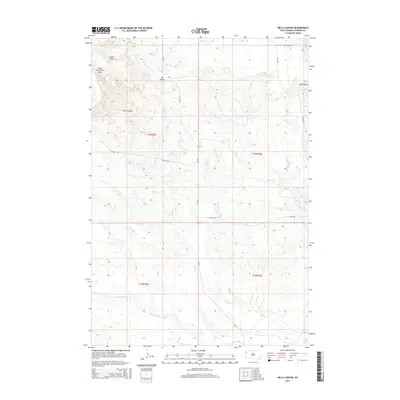
2015 Map of Hells Canyon
USGS Topo · Published 2015About this map
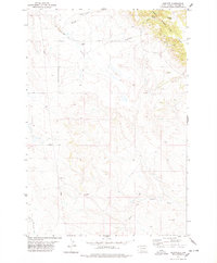
West Short Pine Hills rise over the northwestern corner of this landscape, defining the rugged drainage patterns that feed into the S Fork Moreau River to the south. This 2015 survey of the Hells Canyon quadrangle captures a remote corner of Harding County where seasonal waterways and erosional features like Ash Coulee and Gilbert Draw shape the high plains. A network of rural routes including Short Hills Rd and Dillon Rd provides access to the interior, where the Leger Dam stands as a point of managed water in an otherwise dry environment. The mapping reveals a terrain heavily influenced by the winding courses of Valley Cr and Cady Cr, illustrating the fundamental relationship between water and land use in this part of South Dakota.
Find a feature on this map
18 named features on this map. Tap any name to fly to it.
Don’t see what you’re looking for? This feature index may not catch every label — zoom into the map to look around manually.
Map Details
Editions of this 2015 Hells Canyon Map
This is the sole edition of this map. No revisions or reprints were ever made.
Other maps of this area
1935 · Harding
USGS Topo · 1:125,000

1954 · Lemmon
USGS Topo · 1:250,000

1957 · Lemmon
USGS Topo · 1:250,000
1973 · Bog Creek
USGS Topo · 1:24,000
1973 · Hells Canyon
USGS Topo · 1:24,000
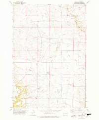
1977 · Harding
USGS Topo · 1:24,000
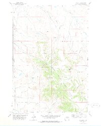
1978 · J K Butte
USGS Topo · 1:24,000
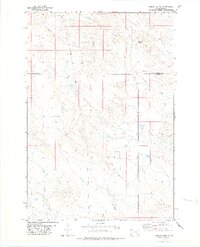
1978 · Indian Butte
USGS Topo · 1:24,000
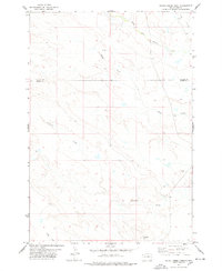
1978 · Alkali Creek West
USGS Topo · 1:24,000
1978 · Gustave
USGS Topo · 1:24,000