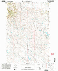
2005 Map of Hells Canyon
USGS Topo · Published 2007About this map
The Short Pine Hills rise sharply above the drainages of the Moreau River system in this corner of Harding County. This semi-arid landscape is defined by the carved terrain of West Hells Canyon and the winding course of Ash Creek. Human presence is marked by ranching infrastructure and local transit routes like Collins Road and Dillon Road, which navigate the various coulees and valleys. The presence of the Dunn Ranch and multiple water management features, such as Lager Dam and several labeled Wells, illustrates the necessity of water control for agriculture and livestock in the High Plains. Geologic exploration is evidenced by a Drill Hole located near the northern upland breaks. The map captures the complex drainage pattern where the South Fork Moreau River joins the main stem, a critical water source for the region's isolated homesteads.
Find a feature on this map
17 named features on this map. Tap any name to fly to it.
Don’t see what you’re looking for? This feature index may not catch every label — zoom into the map to look around manually.
Map Details
Editions of this 2005 Hells Canyon Map
This is the sole edition of this map. No revisions or reprints were ever made.
Other maps of this area

1935 · Harding
USGS Topo · 1:125,000

1954 · Lemmon
USGS Topo · 1:250,000

1957 · Lemmon
USGS Topo · 1:250,000

1973 · Bog Creek
USGS Topo · 1:24,000

1973 · Hells Canyon
USGS Topo · 1:24,000
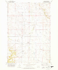
1977 · Harding
USGS Topo · 1:24,000
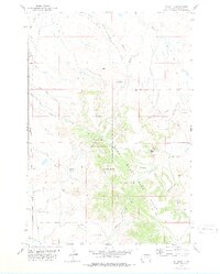
1978 · J K Butte
USGS Topo · 1:24,000
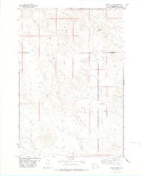
1978 · Indian Butte
USGS Topo · 1:24,000
1978 · Alkali Creek West
USGS Topo · 1:24,000
1978 · Gustave
USGS Topo · 1:24,000