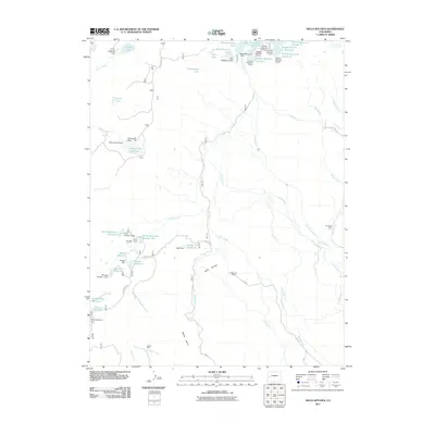
2011 Map of Hells Kitchen
USGS Topo · Published 2011About this map
Hells Kitchen and its surrounding drainage networks define this high-altitude landscape on the western slope of the Colorado Rockies in 2011. The area is characterized by an extensive system of water management features, including the Eagle Ditch, Sanburg Ditch, and Hoosier Ditch, which redirect snowmelt from high-country sources like Carson Lake and Flowing Park Reservoir. This complex web of dams and reservoirs, such as Porter Reservoir Number One and Doughspoon Reservoir, highlights the critical role of water storage in the region's ranching or industrial history.
Find a feature on this map
64 named features on this map. Tap any name to fly to it.
Don’t see what you’re looking for? This feature index may not catch every label — zoom into the map to look around manually.
Map Details
Editions of this 2011 Hells Kitchen Map
This is the sole edition of this map. No revisions or reprints were ever made.
Other maps of this area

1955 · Grand Mesa
USGS Topo · 1:24,000

1955 · Skyway
USGS Topo · 1:24,000

1956 · Montrose
USGS Topo · 1:250,000

1956 · Moab
USGS Topo · 1:250,000

1956 · Grand Junction
USGS Topo · 1:250,000

1957 · Leadville
USGS Topo · 1:250,000

1959 · Grand Junction
USGS Topo · 1:250,000

1959 · Moab
USGS Topo · 1:250,000

1959 · Leadville
USGS Topo · 1:250,000

1959 · Montrose
USGS Topo · 1:250,000