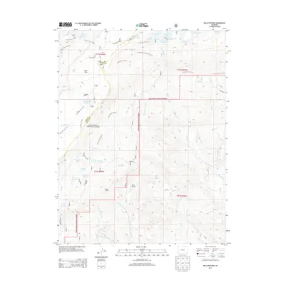
2013 Map of Hells Kitchen
USGS Topo · Published 2013About this map
Grand Mesa National Forest dominates this high-altitude landscape along the border of Mesa and Delta counties. The 2013 survey details an intricate network of water management features essential to the region, including the Doughspoon Aqueduct, Eagle Ditch, and Hoosier Ditch. These man-made diversions cut across the complex terrain of Grand Mesa, connecting numerous high-country water bodies like Carson Lake, Morris Reservoir, and Granby Reservoir Number 12.
Find a feature on this map
62 named features on this map. Tap any name to fly to it.
Don’t see what you’re looking for? This feature index may not catch every label — zoom into the map to look around manually.
Map Details
Editions of this 2013 Hells Kitchen Map
This is the sole edition of this map. No revisions or reprints were ever made.
Other maps of this area
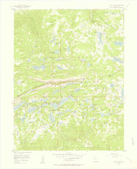
1955 · Grand Mesa
USGS Topo · 1:24,000
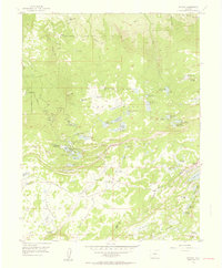
1955 · Skyway
USGS Topo · 1:24,000

1956 · Montrose
USGS Topo · 1:250,000
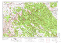
1956 · Moab
USGS Topo · 1:250,000

1956 · Grand Junction
USGS Topo · 1:250,000

1957 · Leadville
USGS Topo · 1:250,000

1959 · Grand Junction
USGS Topo · 1:250,000
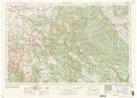
1959 · Moab
USGS Topo · 1:250,000

1959 · Leadville
USGS Topo · 1:250,000
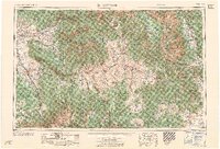
1959 · Montrose
USGS Topo · 1:250,000