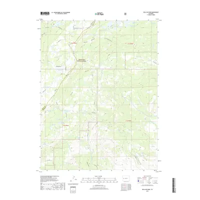
2019 Map of Hells Kitchen
USGS Topo · Published 2019About this map
Grand Mesa National Forest dominates this high-altitude landscape, where the plateau drops off sharply at the Indian Point and Drop Off escarpments. The terrain is defined by an intricate network of water management, illustrated by the presence of numerous high-country catchments like Porter Reservoir Number One, Morris Reservoir, and Flowing Park Reservoir. These reservoirs feed a complex system of gravity-fed water ways, including the Doughspoon Aqueduct, Hoosier Ditch, and Dirty George Cr Aqueduct, which trace the contours of the mesa to provide irrigation for the lower valleys. Historical access points like Point Camp and Point Cow Camp reflect the area's long-standing use for summer grazing and timber. Several forks of Doughspoon Cr and Negro Cr drain the southern slopes, carving deep gulches such as Beebe Gulch as they descend from the Mesa Top.
Find a feature on this map
55 named features on this map. Tap any name to fly to it.
Don’t see what you’re looking for? This feature index may not catch every label — zoom into the map to look around manually.
Map Details
Editions of this 2019 Hells Kitchen Map
This is the sole edition of this map. No revisions or reprints were ever made.
Other maps of this area
1955 · Grand Mesa
USGS Topo · 1:24,000
1955 · Skyway
USGS Topo · 1:24,000

1956 · Montrose
USGS Topo · 1:250,000
1956 · Moab
USGS Topo · 1:250,000

1956 · Grand Junction
USGS Topo · 1:250,000

1957 · Leadville
USGS Topo · 1:250,000

1959 · Grand Junction
USGS Topo · 1:250,000
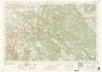
1959 · Moab
USGS Topo · 1:250,000

1959 · Leadville
USGS Topo · 1:250,000
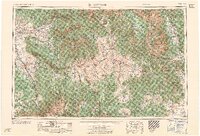
1959 · Montrose
USGS Topo · 1:250,000