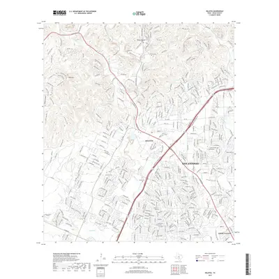
2019 Map of Helotes
USGS Topo · Published 2019About this map
Helotes sits at the transition between the Texas Hill Country and the advancing suburban reach of San Antonio, a landscape defined by sharp elevation changes and the winding courses of Helotes Creek and French Creek. The northwestern portion of the map reveals a more rugged character near Black Hill and Wildcat Canyon, where residential enclaves like Grey Forest are woven into the terrain of the Balcones Escarpment. This 2019 survey documents the modern layout of these historic communities, showing how the local road network, including the prominent Bandera Rd, has shaped development around traditional landmarks.
Find a feature on this map
367 named features on this map. Tap any name to fly to it.
Don’t see what you’re looking for? This feature index may not catch every label — zoom into the map to look around manually.
Map Details
Editions of this 2019 Helotes Map
This is the sole edition of this map. No revisions or reprints were ever made.
Other maps of this area

1953 · Otis Ridge
USGS Topo · 1:24,000

1953 · Culebra Hill
USGS Topo · 1:24,000

1953 · San Antonio West
USGS Topo · 1:24,000

1953 · Helotes
USGS Topo · 1:24,000

1953 · Castle Hills
USGS Topo · 1:24,000

1953 · Van Raub
USGS Topo · 1:24,000

1954 · San Antonio
USGS Topo · 1:250,000

1956 · Medina Lake
USGS Topo · 1:62,500

1957 · San Antonio
USGS Topo · 1:250,000

1958 · La Coste NE
USGS Topo · 1:24,000