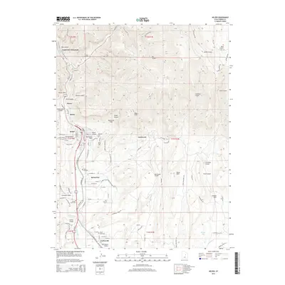
2014 Map of Helper
USGS Topo · Published 2014About this map
Kenilworth and Helper sit at the base of the massive Book Cliffs, where the steep canyons of the Wasatch Plateau meet the Price River valley. This 2014 survey documents a landscape deeply shaped by industrial history, featuring coal-era settlements and an extensive network of cemeteries including the Austrian Central Cem, Castle Gate Cem, and Haycock Cem. The transition from the rugged highlands of Mathis Canyon and Barn Canyon to the irrigated flats is visible through the engineering of the Spring Glen Canal and Carbon Canal. While Castle Gate (Historical) is noted for its past, newer developments like Carbonville and Spring Glen follow the river corridor, highlighting the enduring importance of this transportation and resource gateway.
Find a feature on this map
99 named features on this map. Tap any name to fly to it.
Don’t see what you’re looking for? This feature index may not catch every label — zoom into the map to look around manually.
Map Details
Editions of this 2014 Helper Map
This is the sole edition of this map. No revisions or reprints were ever made.
Other maps of this area

1886 · Price River
USGS Topo · 1:250,000

1896 · Price River
USGS Topo · 1:250,000

1914 · Castle Gate
USGS Topo · 1:62,500

1915 · Wellington
USGS Topo · 1:62,500

1916 · Castle Gate
USGS Topo · 1:62,500

1956 · Price
USGS Topo · 1:250,000

1960 · Price
USGS Topo · 1:250,000

1962 · Price
USGS Topo · 1:250,000
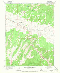
1969 · Kyune
USGS Topo · 1:24,000
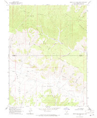
1969 · Minnie Maud Creek West
USGS Topo · 1:24,000