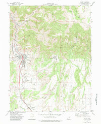
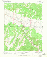
1972 Map of Helper
USGS Topo · Published 1983About this map
The industrial coal landscape of Carbon County is clearly defined in this 1972 survey, centered on the Denver and Rio Grande Western Railroad corridor. The geography is dominated by narrow canyons and active extraction sites, including Castle Gate Mine No 1, Castle Gate Mine No 4, and the Aberdeen Mine. These mining operations are supported by a complex rail network, with the Spring Canyon Railroad and the Utah Railway branching through the terrain to serve coal camps and loading points.
Find a feature on this map
65 named features on this map. Tap any name to fly to it.
Don’t see what you’re looking for? This feature index may not catch every label — zoom into the map to look around manually.
Map Details
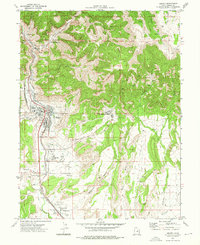
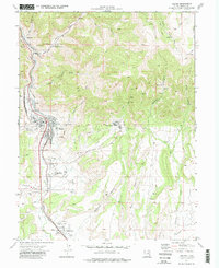
Editions of this 1972 Helper Map
3 editions found
Other maps of this area

1886 · Price River
USGS Topo · 1:250,000

1896 · Price River
USGS Topo · 1:250,000

1914 · Castle Gate
USGS Topo · 1:62,500
1915 · Wellington
USGS Topo · 1:62,500

1916 · Castle Gate
USGS Topo · 1:62,500

1956 · Price
USGS Topo · 1:250,000

1960 · Price
USGS Topo · 1:250,000

1962 · Price
USGS Topo · 1:250,000
1969 · Kyune
USGS Topo · 1:24,000
1969 · Minnie Maud Creek West
USGS Topo · 1:24,000