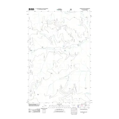
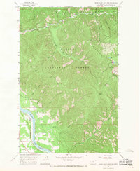
2011 Map of Helwick Peak
USGS Topo · Published 2011About this map
Helwick Peak and Mosquito Peak define the high elevations of this Sanders County landscape, where the drainage network of the Clark Fork watershed is mapped in detail. The terrain is deeply incised by numerous waterways, most notably Big Beaver Creek and Little Beaver Creek, which draw from the surrounding gulches and points. Named features like Miller Gulch, Foote Gulch, and Anderson Gulch reflect a history of local land use and naming conventions.
Find a feature on this map
28 named features on this map. Tap any name to fly to it.
Don’t see what you’re looking for? This feature index may not catch every label — zoom into the map to look around manually.
Map Details
Editions of this 2011 Helwick Peak Map
This is the sole edition of this map. No revisions or reprints were ever made.
Other maps of this area
1932 · Trout Creek
USGS Topo · 1:125,000
1935 · Trout Creek
USGS Topo · 1:125,000
1936 · Trout Creek
USGS Topo · 1:125,000
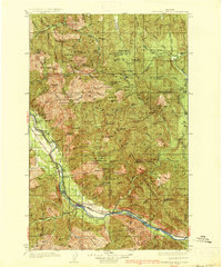
1937 · Thompson Falls
USGS Topo · 1:125,000
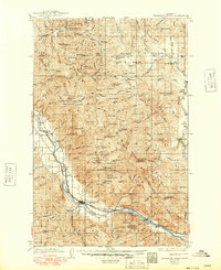
1937 · Thompson Falls
USGS Topo · 1:62,500
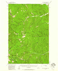
1956 · Cooper Gulch
USGS Topo · 1:62,500

1956 · Wallace
USGS Topo · 1:250,000
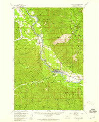
1957 · Thompson Falls
USGS Topo · 1:62,500

1960 · Wallace
USGS Topo · 1:250,000
1966 · Seven Point Mountain
USGS Topo · 1:24,000