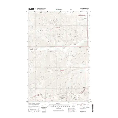
2014 Map of Helwick Peak
USGS Topo · Published 2014About this map
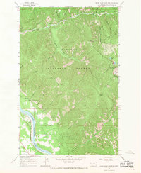
Kanisku National Forest and Lolo National Forest converge in this high-elevation region of Sanders County, defined by a complex drainage system of creeks and steep gulches. Prominent summits including Helwick Peak and Mosquito Peak tower over the landscape, while numerous smaller ridges like Larch Point and Haines Point break the terrain. The area's water network is primarily shaped by the east-flowing Big Beaver Cr and the northern reaches of White Pine Cr.
Find a feature on this map
48 named features on this map. Tap any name to fly to it.
Don’t see what you’re looking for? This feature index may not catch every label — zoom into the map to look around manually.
Map Details
Editions of this 2014 Helwick Peak Map
This is the sole edition of this map. No revisions or reprints were ever made.
Other maps of this area
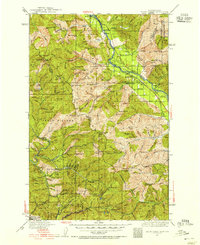
1932 · Trout Creek
USGS Topo · 1:125,000
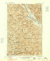
1935 · Trout Creek
USGS Topo · 1:125,000
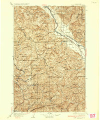
1936 · Trout Creek
USGS Topo · 1:125,000
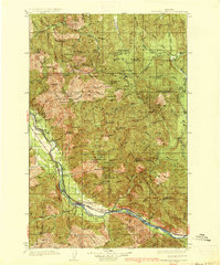
1937 · Thompson Falls
USGS Topo · 1:125,000
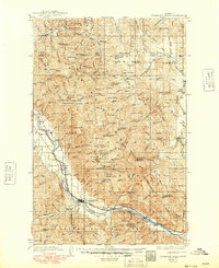
1937 · Thompson Falls
USGS Topo · 1:62,500
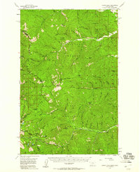
1956 · Cooper Gulch
USGS Topo · 1:62,500

1956 · Wallace
USGS Topo · 1:250,000
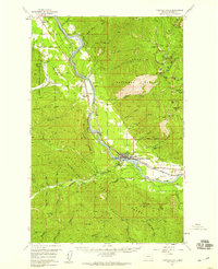
1957 · Thompson Falls
USGS Topo · 1:62,500

1960 · Wallace
USGS Topo · 1:250,000
1966 · Seven Point Mountain
USGS Topo · 1:24,000