Loading...
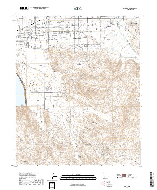
Loading map...2021 Map of Hemet
USGS Topo · Published 2021About this map
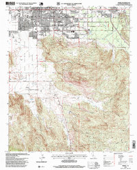
The Hemet valley floor transitions sharply into the complex canyons of the Santa Rosa Hills in this recent survey. Urban residential grids and major thoroughfares like E Florida Ave and Stetson Ave characterize East Hemet, giving way to the prominent outdoor amphitheater at Ramona Bowl where the hills begin. To the east, the community of Valle Vista sits at the mouth of Bautista Creek, which defines the local drainage alongside Bautista Wash.
Find a feature on this map
62 named features on this map. Tap any name to fly to it.
Don’t see what you’re looking for? This feature index may not catch every label — zoom into the map to look around manually.
Map Details
Date Portrayed2021
Date Published2021
PublisherU.S. Geological Survey
Map TypeTopographic
Scale1:24000
Physical Dimensions24 x 29 inches
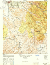
Editions of this 2021 Hemet Map
This is the sole edition of this map. No revisions or reprints were ever made.
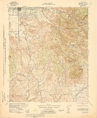
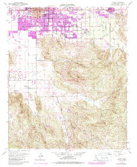
Historical Maps of Lake Crest Estates Through Time
6 maps found
Featured Locations
Source Details
SourceU.S. Geological Survey
CopyrightPublic Domain