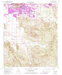
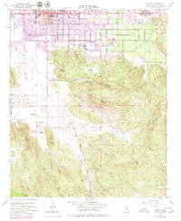
1953 Map of Hemet
USGS Topo · Published 1987About this map
San Jacinto Valley agriculture and early suburban growth are caught in transition during this mid-century survey of Riverside County. The city of Hemet serves as the focal point, defined by a grid of thoroughfares like Florida Ave and the tracks of the Atchison Topeka and Santa Fe railroad. To the south, the landscape shifts abruptly from the structured blocks of the Alessandro Sch neighborhood to the open ranching lands of Searl Ranch and Goodhart Ranch in Diamond Valley.
Find a feature on this map
39 named features on this map. Tap any name to fly to it.
Don’t see what you’re looking for? This feature index may not catch every label — zoom into the map to look around manually.
Map Details
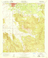
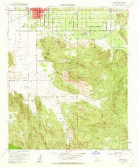
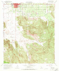
Editions of this 1953 Hemet Map
6 editions found

Other maps of this area

1901 · Southern California Sheet No. 1
USGS Topo · 1:250,000

1901 · San Jacinto
USGS Topo · 1:125,000

1901 · Elsinore
USGS Topo · 1:125,000

1904 · Southern California Sheet No. 1
USGS Topo · 1:250,000

1942 · Banning
USGS Topo · 1:62,500

1942 · Hemet
USGS Topo · 1:62,500

1942 · Murrieta
USGS Topo · 1:62,500

1942 · Perris
USGS Topo · 1:62,500

1943 · Perris
USGS Topo · 1:62,500
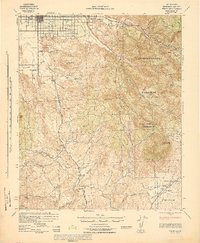
1943 · Hemet
USGS Topo · 1:62,500