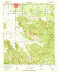
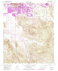
1953 Map of Hemet
USGS Topo · Published 1963About this map
Agricultural development and ranching define this mid-century survey of the San Jacinto Valley. The city of Hemet serves as the primary hub, featuring concentrated development around City Hall, the local Hospital, and the Alessandro Sch. Transportation into the valley is anchored by the Atchison Topeka and Santa Fe railroad, which parallels Florida Ave. To the south, the landscape shifts toward the Santa Rosa Hills and the dramatic slopes of Polly Butte. This transition reveals a pattern of rural land use, where established operations like Searl Ranch, Mission Ranch, and Goodhart Ranch occupy the margins of Diamond Valley. The presence of the Ramona Bowl near the foothills points to the area's cultural significance, while numerous canyons like St Johns Canyon and Bautista Creek illustrate the complex drainage systems feeding the valley floor.
Find a feature on this map
44 named features on this map. Tap any name to fly to it.
Don’t see what you’re looking for? This feature index may not catch every label — zoom into the map to look around manually.
Map Details
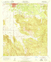
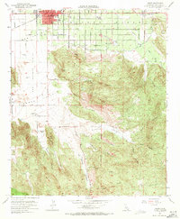
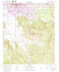
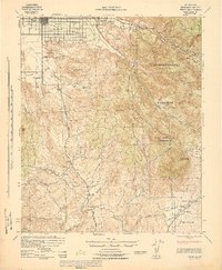
Editions of this 1953 Hemet Map
6 editions found

Other maps of this area

1901 · Southern California Sheet No. 1
USGS Topo · 1:250,000

1901 · San Jacinto
USGS Topo · 1:125,000

1901 · Elsinore
USGS Topo · 1:125,000

1904 · Southern California Sheet No. 1
USGS Topo · 1:250,000

1942 · Banning
USGS Topo · 1:62,500

1942 · Hemet
USGS Topo · 1:62,500

1942 · Murrieta
USGS Topo · 1:62,500

1942 · Perris
USGS Topo · 1:62,500

1943 · Perris
USGS Topo · 1:62,500
1943 · Hemet
USGS Topo · 1:62,500