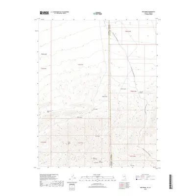
2018 Map of Hen Spring
USGS Topo · Published 2018About this map
Virgin Mountains and the high elevations of Virgin Peak Ridge dominate this borderland landscape where Nevada's Clark County meets Arizona's Mohave County. This high-desert terrain within the Mojave Desert is defined by sharp topographic relief, carved by numerous drainage systems including Indian Canyon, Middle Canyon, and Lime Kiln Canyon. Water sources are critical but sparse here, represented by the namesake Hen Spring and seasonal flows like Nickel Cr and Cedar Wash. The map reveals a modern layer of recreation through the Bikepacking: The Plateau Passage route, which traverses the rugged north-south corridor through the state line. Landforms like Bunkerville Ridge and Cabin Canyon Spur provide essential context for understanding the geologic and transit history of this arid interior region.
Find a feature on this map
23 named features on this map. Tap any name to fly to it.
Don’t see what you’re looking for? This feature index may not catch every label — zoom into the map to look around manually.
Map Details
Editions of this 2018 Hen Spring Map
This is the sole edition of this map. No revisions or reprints were ever made.
Other maps of this area
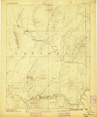
1886 · Saint Thomas
USGS Topo · 1:250,000
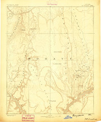
1886 · Mt. Trumbull
USGS Topo · 1:250,000
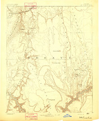
1892 · Mt. Trumbull
USGS Topo · 1:250,000
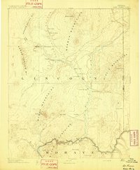
1893 · Saint Thomas
USGS Topo · 1:250,000

1953 · Grand Canyon
USGS Topo · 1:250,000
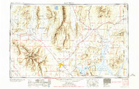
1954 · Las Vegas
USGS Topo · 1:250,000
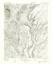
1954 · Littlefield 3 SW
USGS Topo · 1:24,000
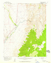
1954 · Littlefield
USGS Topo · 1:62,500
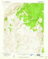
1954 · Cane Springs
USGS Topo · 1:62,500
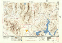
1957 · Las Vegas
USGS Topo · 1:250,000